  1893 - Showing Counties  1897  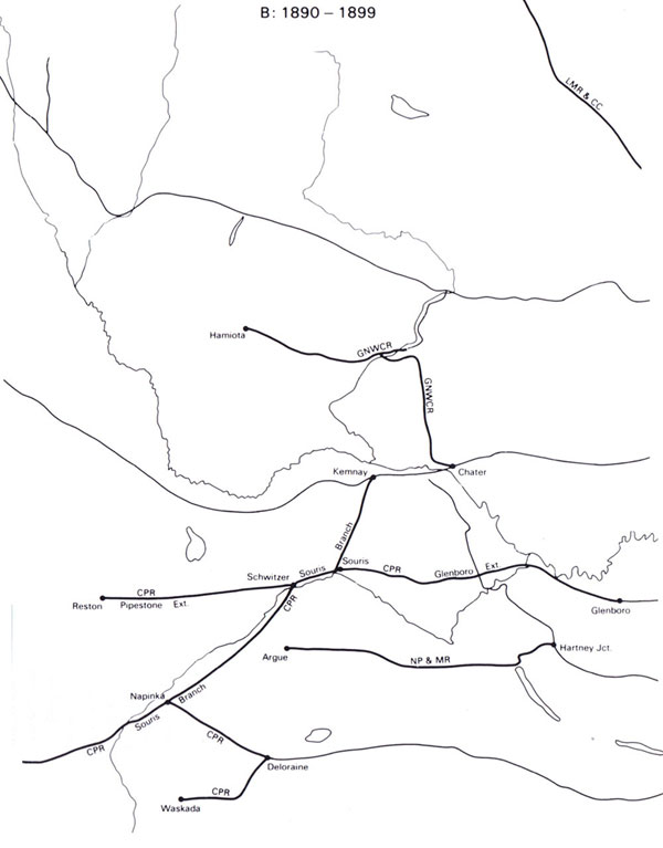 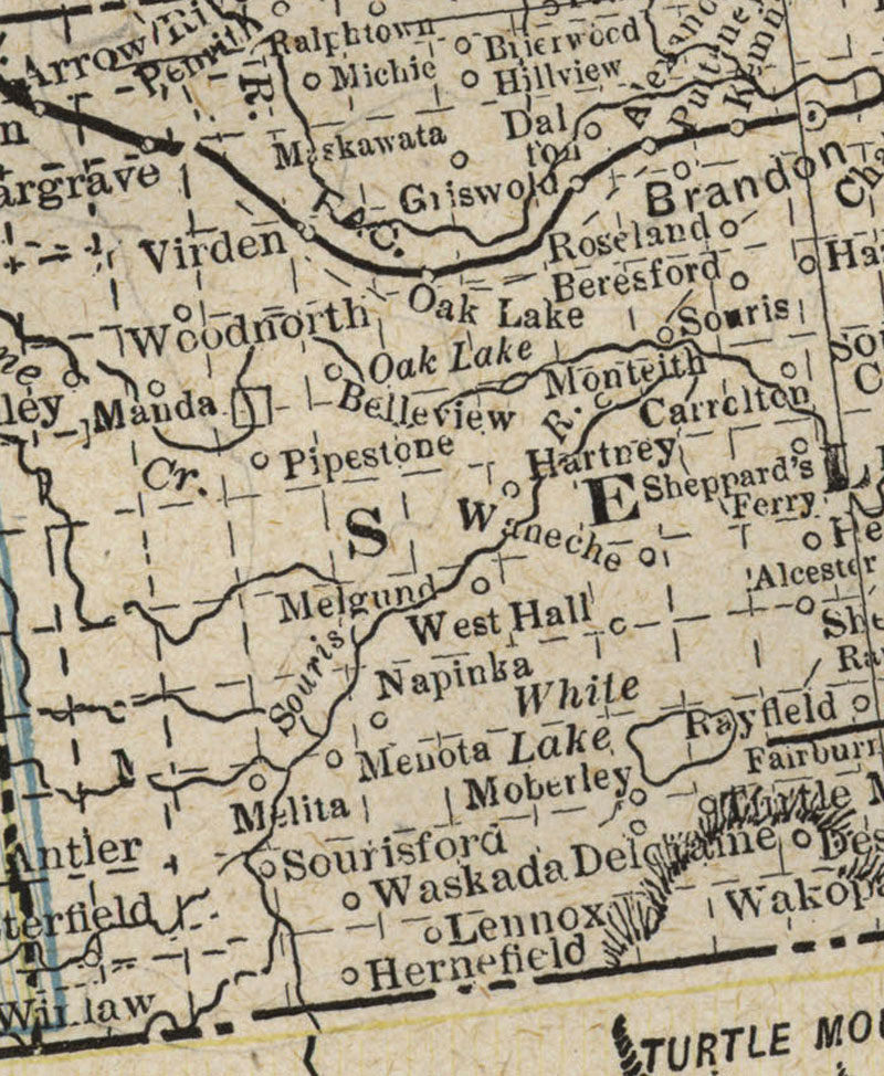 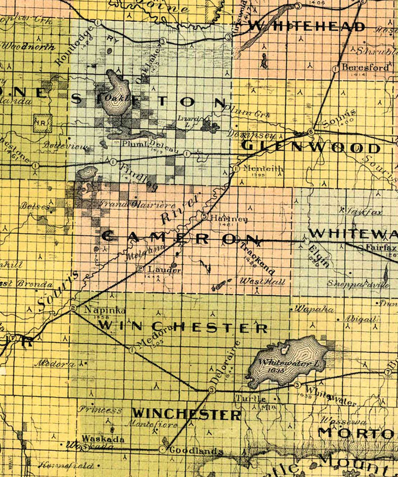 Railways - 1990 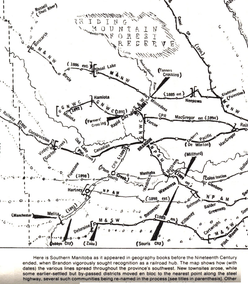 1905   1908 - CNR   1915 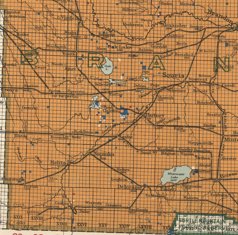 1917 - Elevators & Capacity 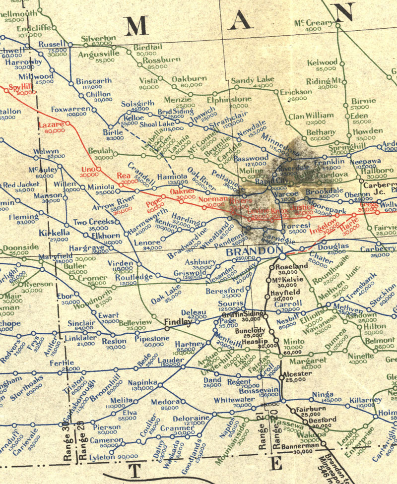 1918 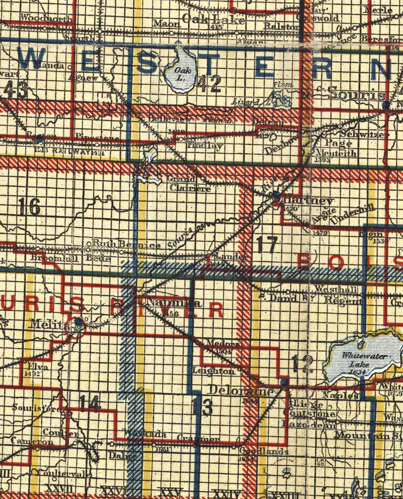 1920 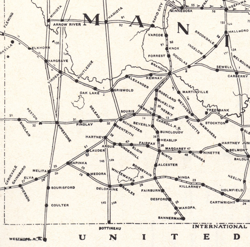 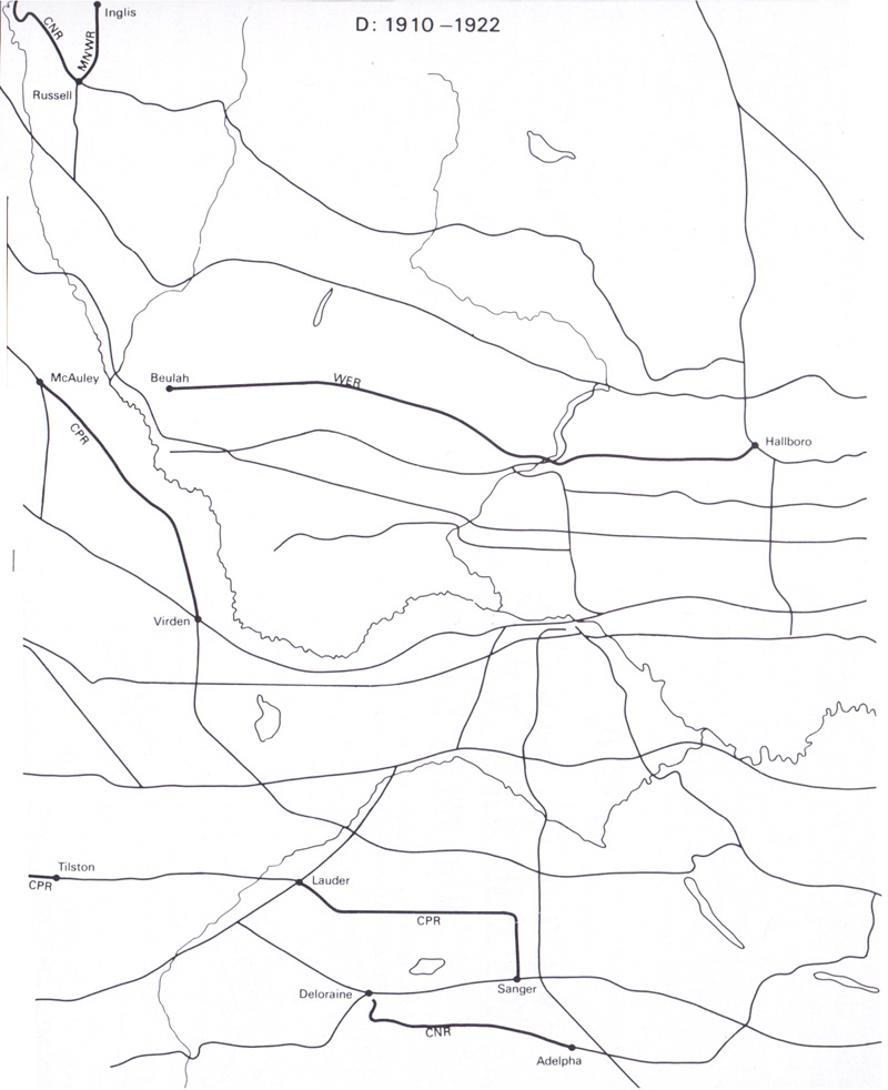 1924 - Highways 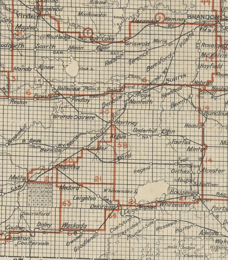 1926 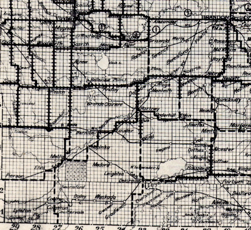 1930 - Southern Manitoba 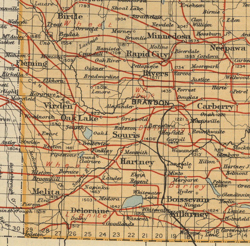 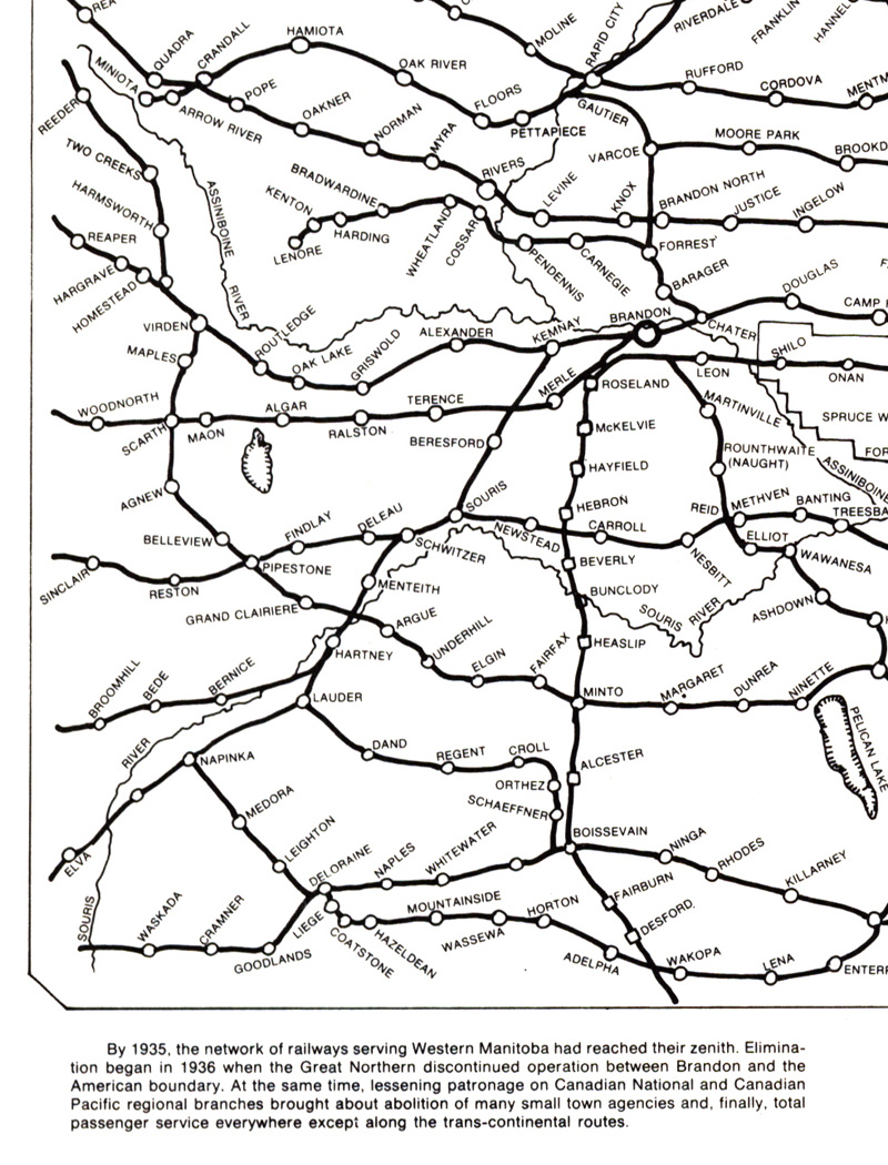 |
1893 - Showing Counties 1897 Railways - 1990 1905 1908 - CNR 1915 1917 - Elevators & Capacity 1918 1920 1924 - Highways 1926 1930 - Southern Manitoba |