 Map Archive Downloadable full size versions of many of these maps are available at: Flickr : Manitoba Historical Maps http://www.flickr.com/photos/manitobamaps/ Other Important Sources Historical Atlas of Manitoba Manitoba Historical Society Warkentin and Ruggles 1970 By Section, Township & Range, Studies in Prairie Settlement, John Langton Tyman. Brandon University, 1972 Visit the Virtual Manitoba Map Collection Hind 1859  Laurie's 1876  1870  Proposed C.P.R Routes  Transport Facilities  Settlements & Trails 1881  Postal Services 1884  x Argyle 1887  1888  Railway Proposals - 1888 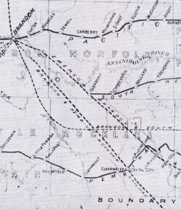 Rail Lines, 1880's 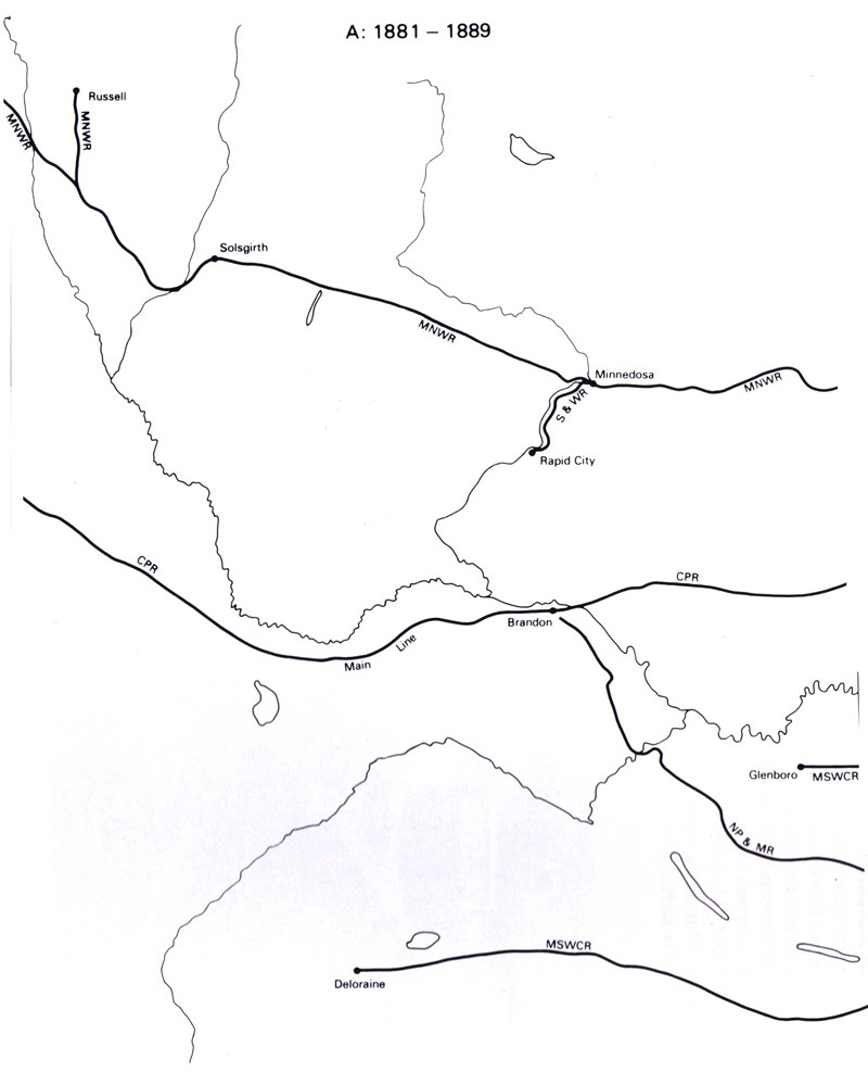 1890  Settlement 1891  1891  1890 - Upham's Lake Agassiz Map  1897 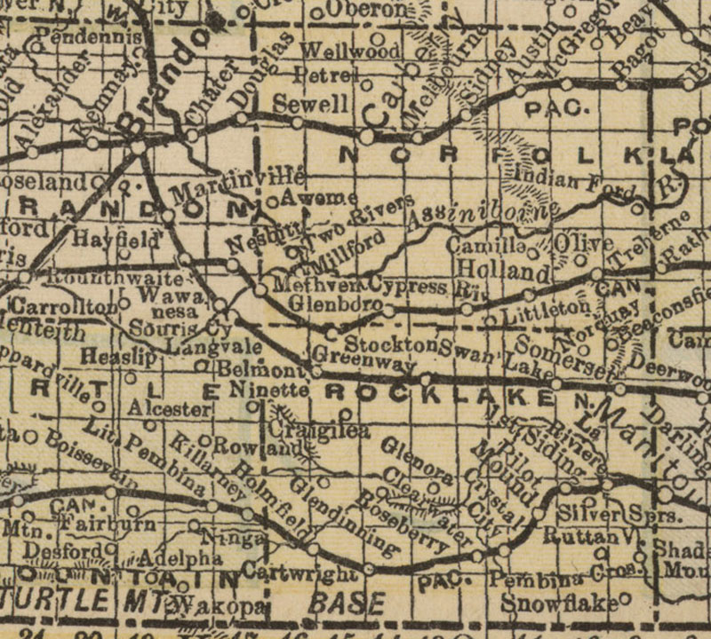 1890's  Railway Progress 1900  1905  1900 - 1909  Elevators, 1917  1918 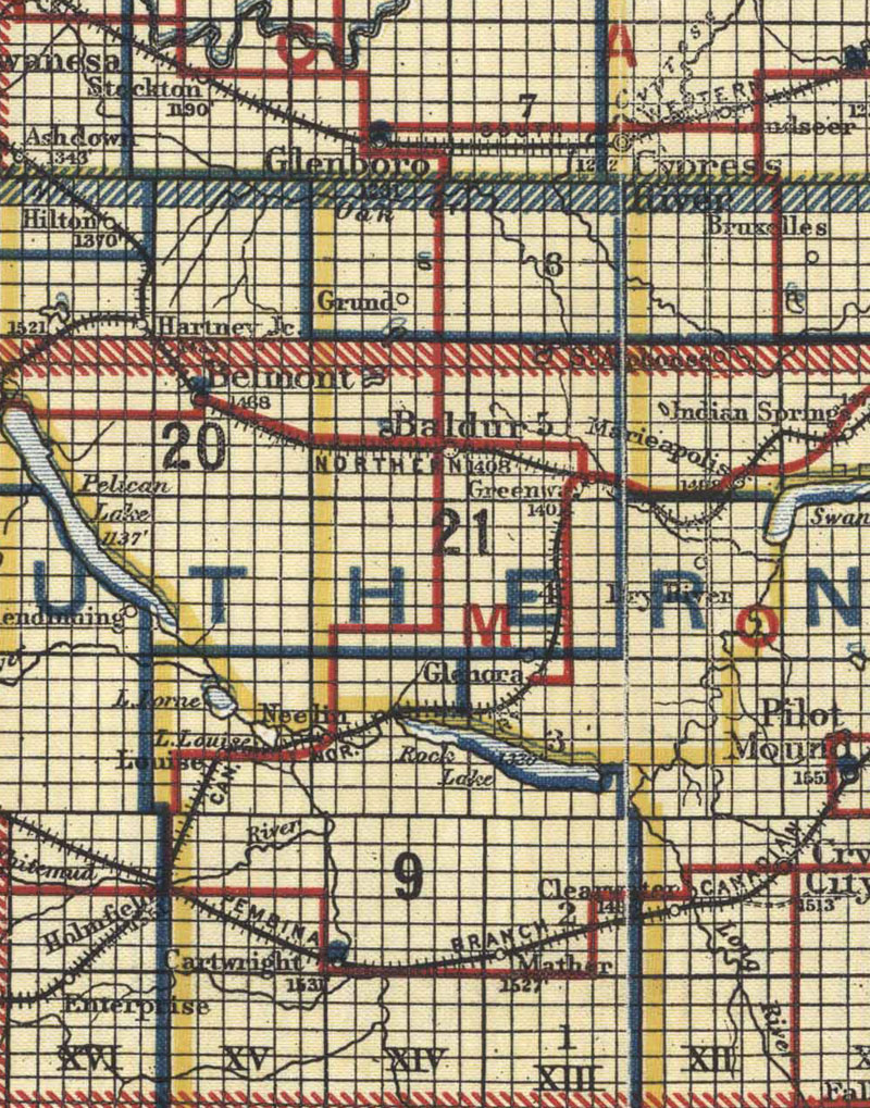 Roads, 1924  1930  Railway Progress 1935  |