 |
The Souris Bend
Lang's Crossing Trail
See Also:
WMA's - A Treasure in Distress
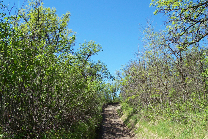
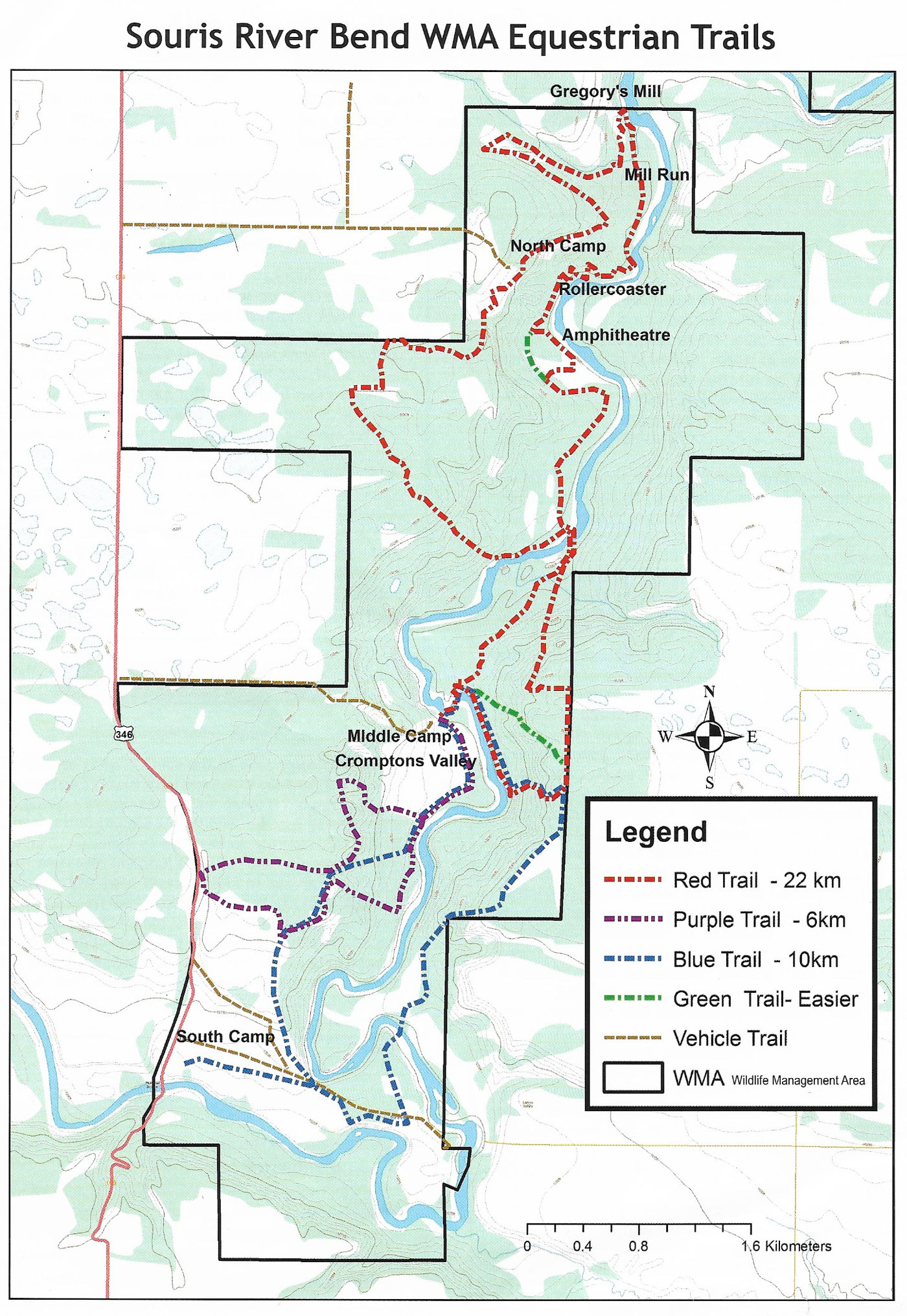
A network of trails has been
established in the Souris Bend Wildlife Management Area. They are
a combination rough, at some times barely defined, trails
designed primarily for horses, old cart tracks, and road allowances.
They cross some of the most rugged and beautiful terrain in Manitoba.
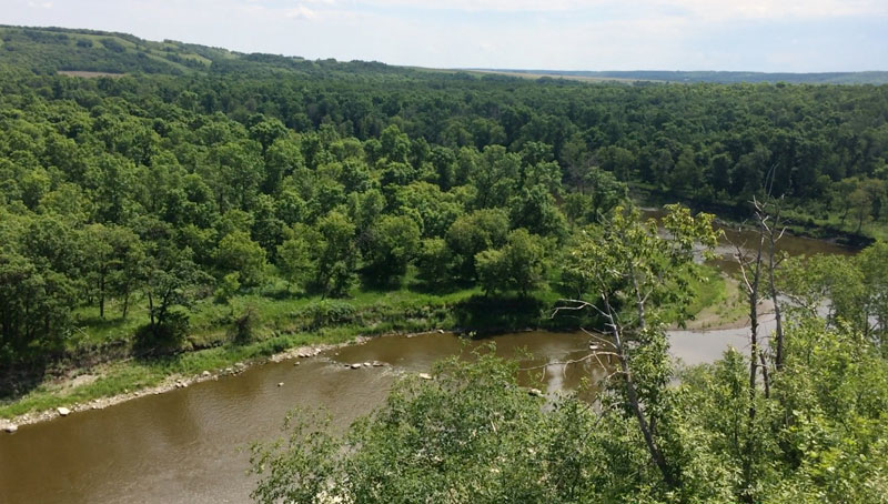
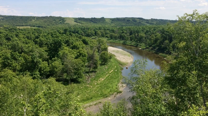
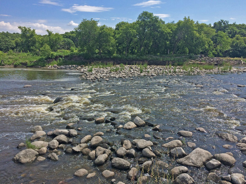
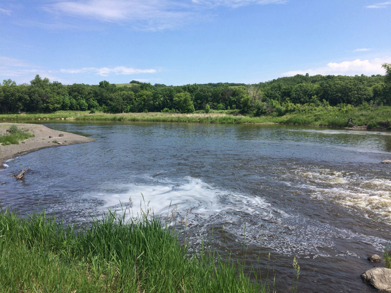
 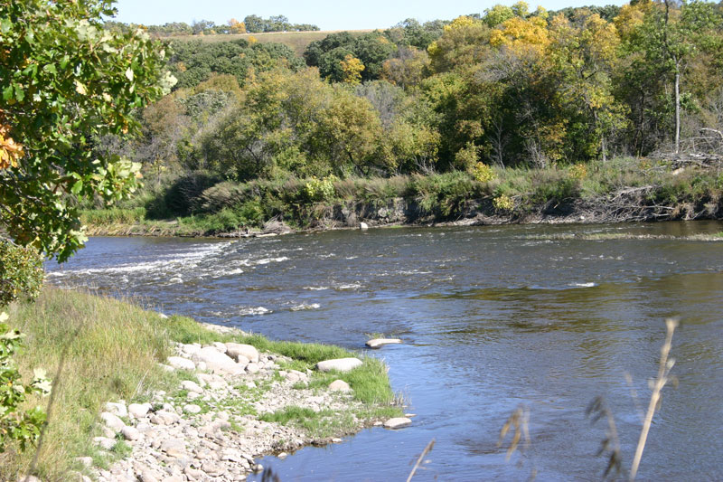 Rapids from upstream 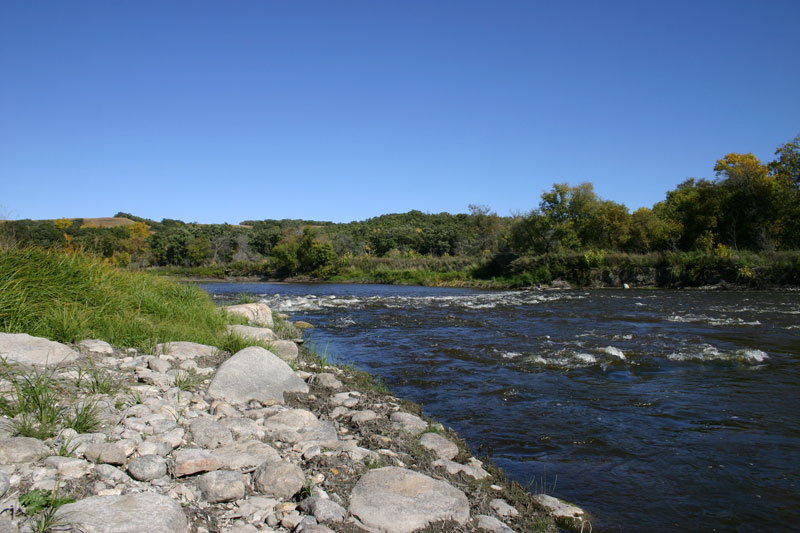 Rapids from upstream 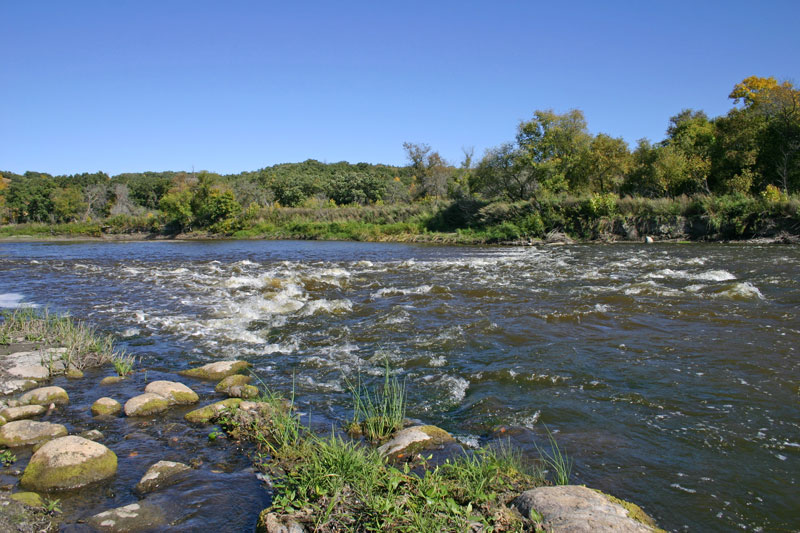 Rapids from upstream Take a short hike to the crossing, or follow a longer trail north. 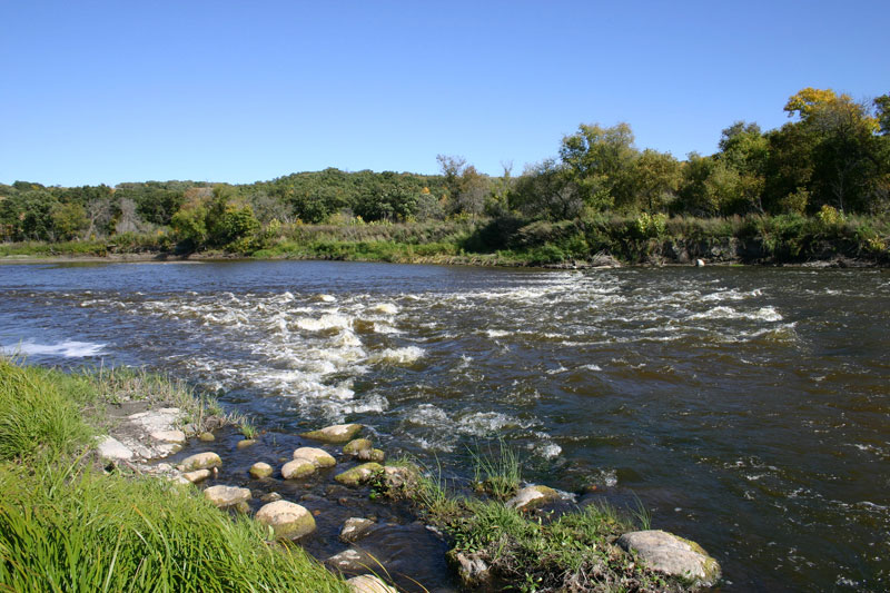 Rapids from upstream 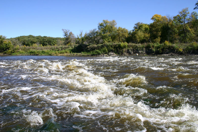 Rapids up close and personal 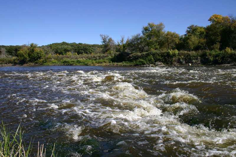 Rapids up close and personal 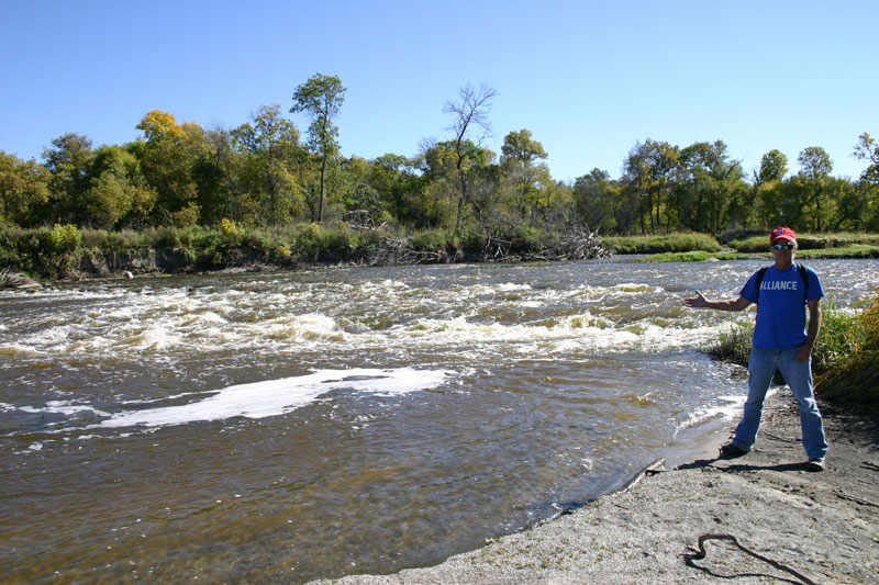 7. Rapids from downstream 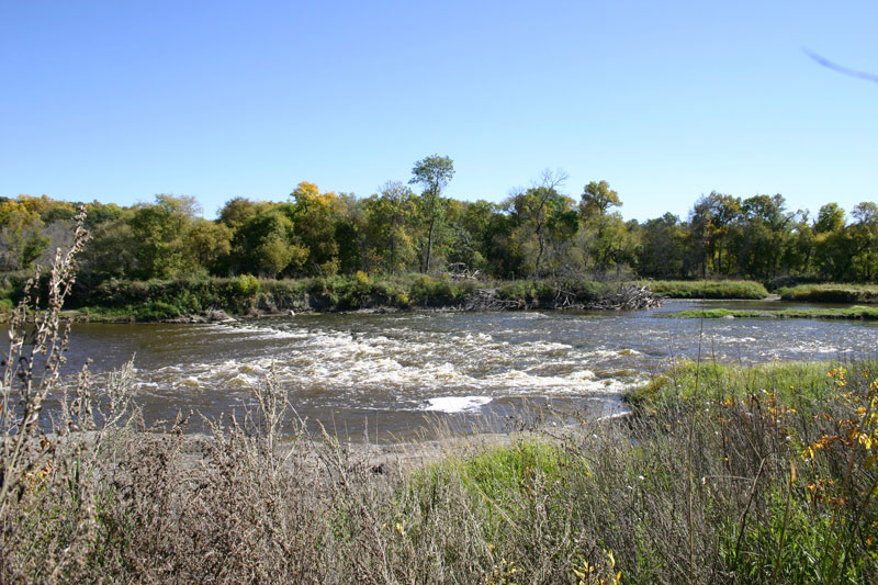 8. Rapids from downstream 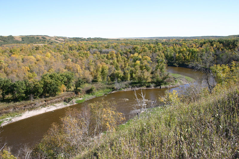 9. About a kilometre downstream looking back 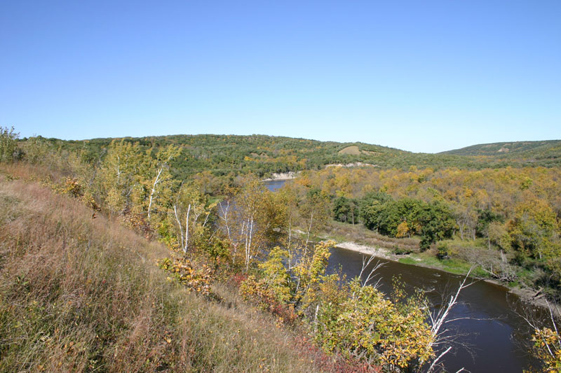 About a km downstream looking ahead 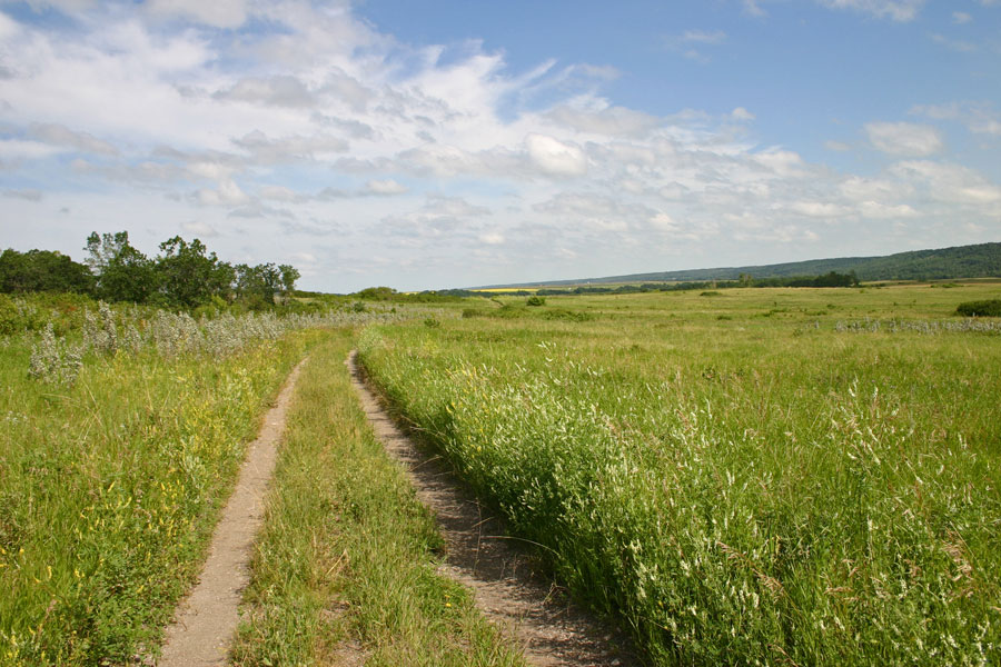 Begininng of the trail, looking towards the "Big Bend" of the Souris River. 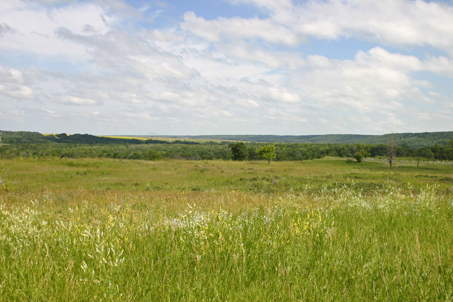 Overview of the Souris Bend 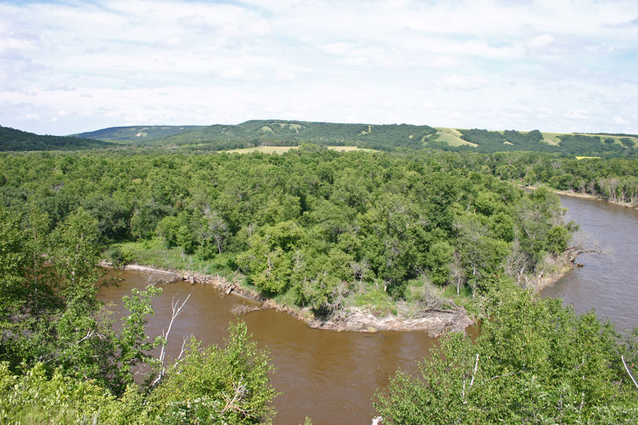 Twists and turns on the Souris River 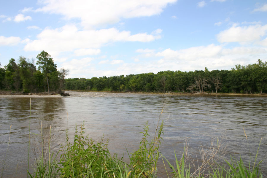 The old crossing in high water, July, 24 2014. On most years one could walk across here in mid-summer. I've seen jeeps drive across in the fall. 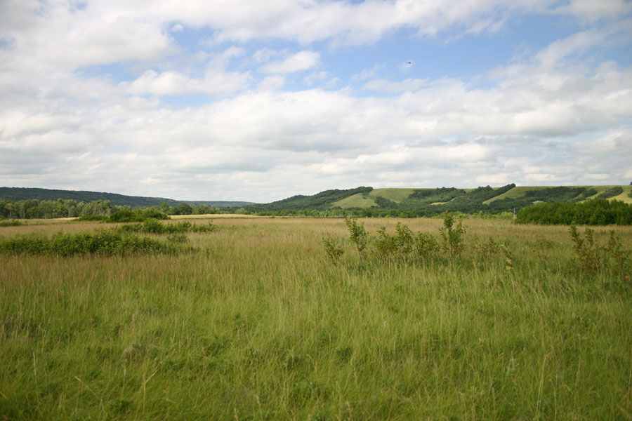 15. Towards the lip of the river channel. 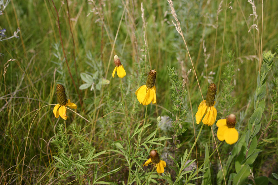 16. Lush growth in this wet year. Flowers everywhere. 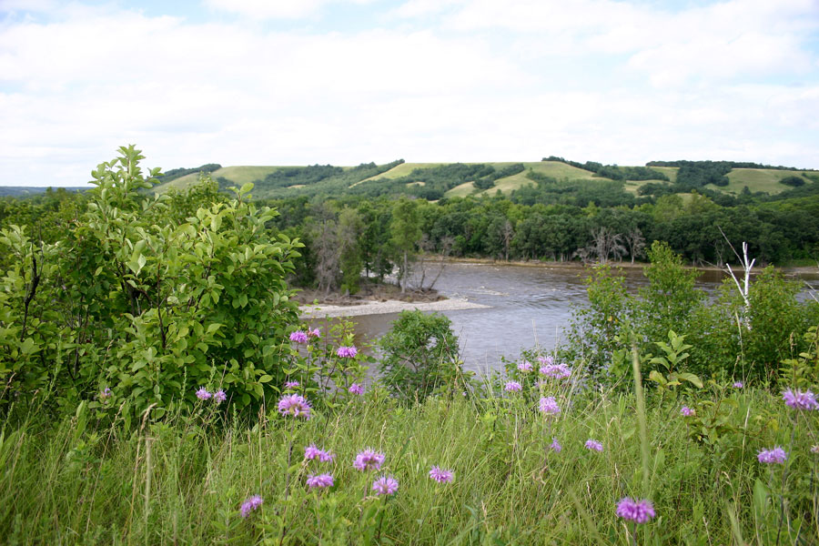 Overlooking the old crossing from the west. 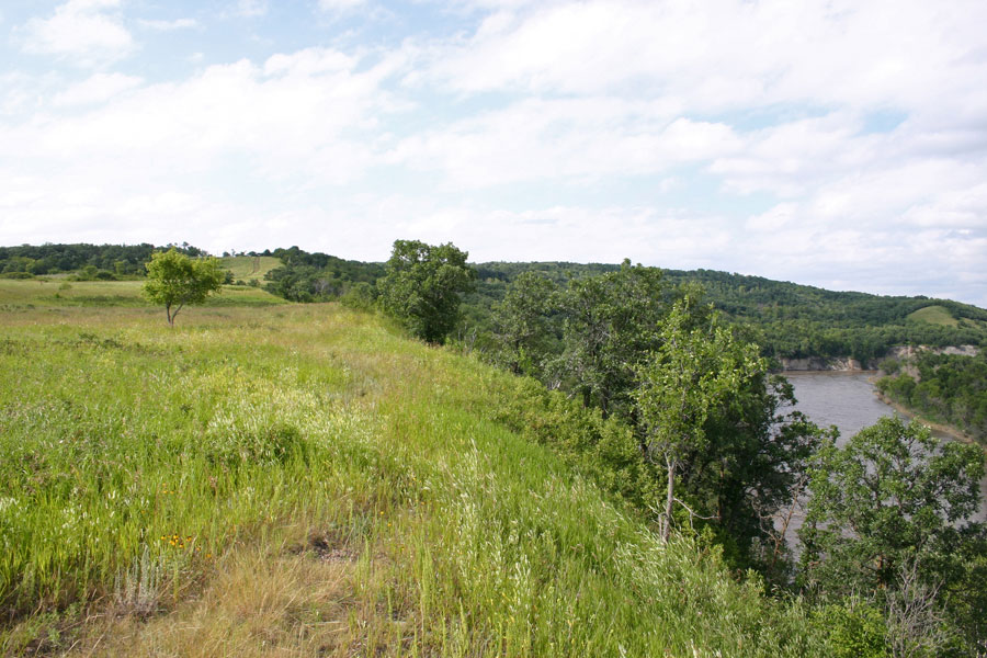 Downstream from the crossing. The valley often has two levels. Gentle rolling descent from the prairie is followed by sharp valley walls along many parts of the channel. 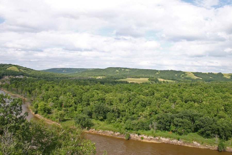 Another view 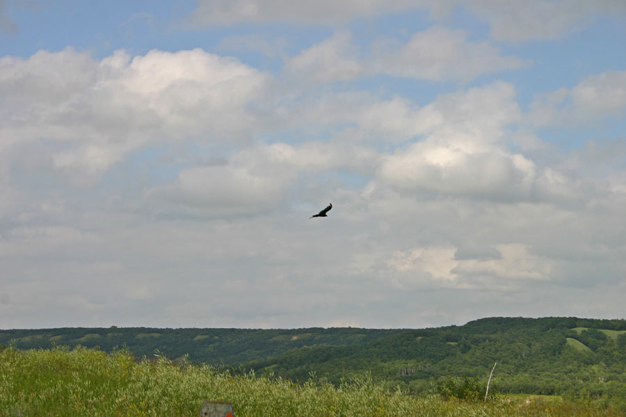 There is often a nice updraft. Watched a group of up to five eagles for some time. The best part was when swooped up out of the valley right in front of me. 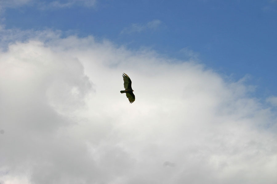 Golden Eagle along the river valley 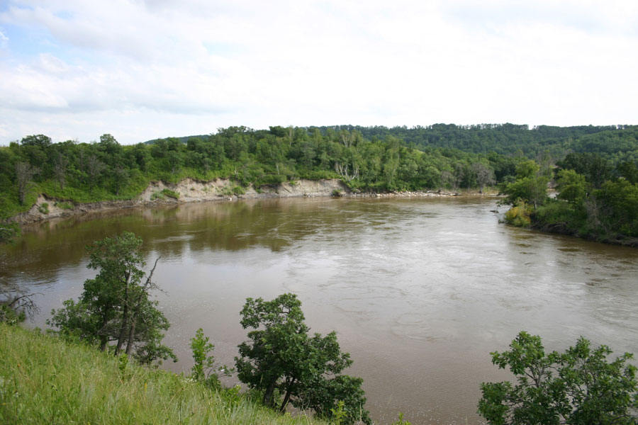 High water has extended this bend significantly since my first visit nearly twenty years ago. |
Video:
The Rapids at Lang's Crossing - Souris Bend
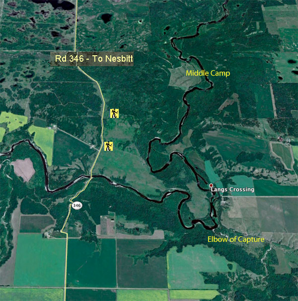
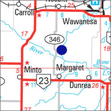
G.P.S.
Start of Trail:
49* 27' 52.62" N
99* 52' 20.42" W
Rapids & Crossing
49* 27' 39.32" N
99* 50' 38.94" W
MapPlus...