 |
| Communities
|
Natural Places | Historic
Places |
Riverside
Bridge Overlook | First Bridge Site | First Bridge in Winter | Winter River Walk
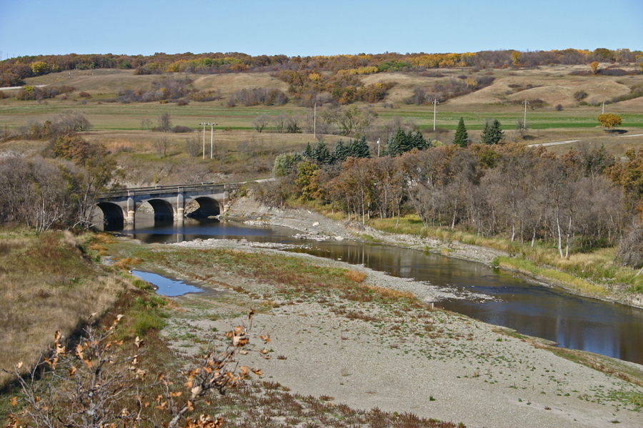
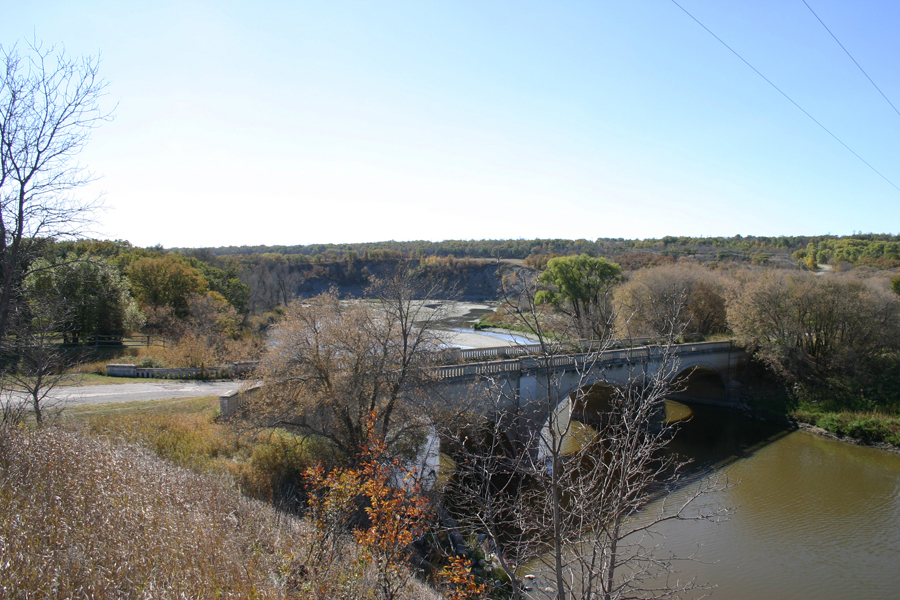
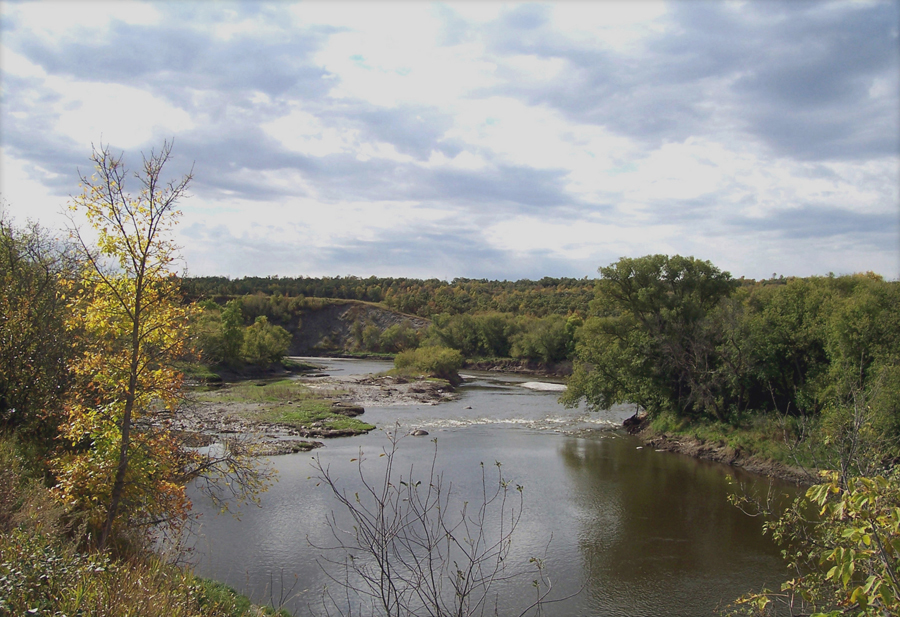
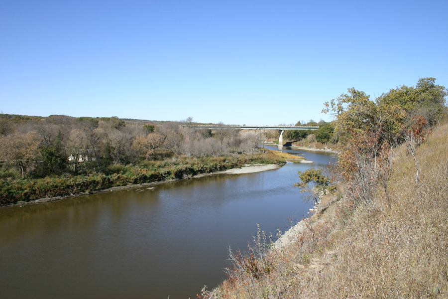
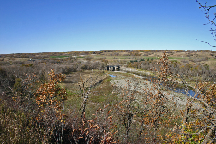
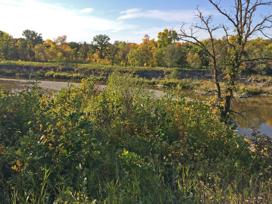
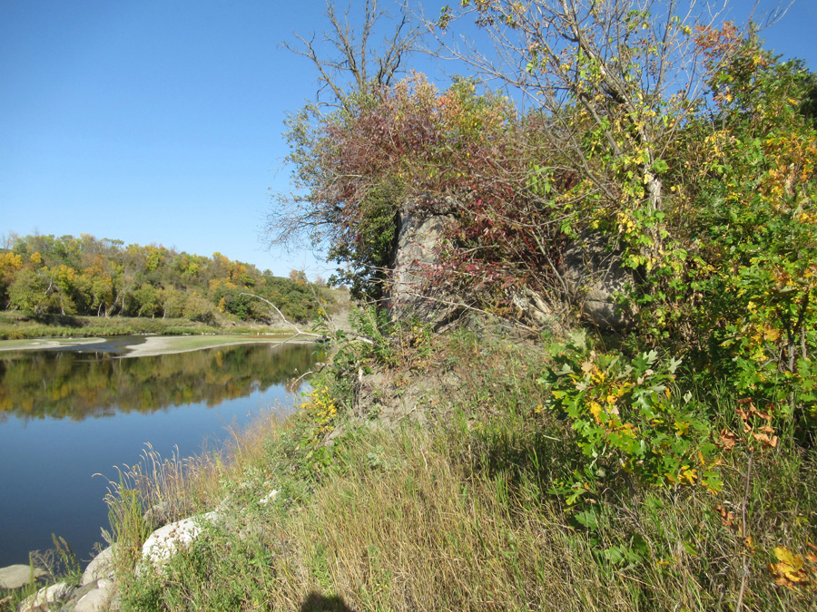
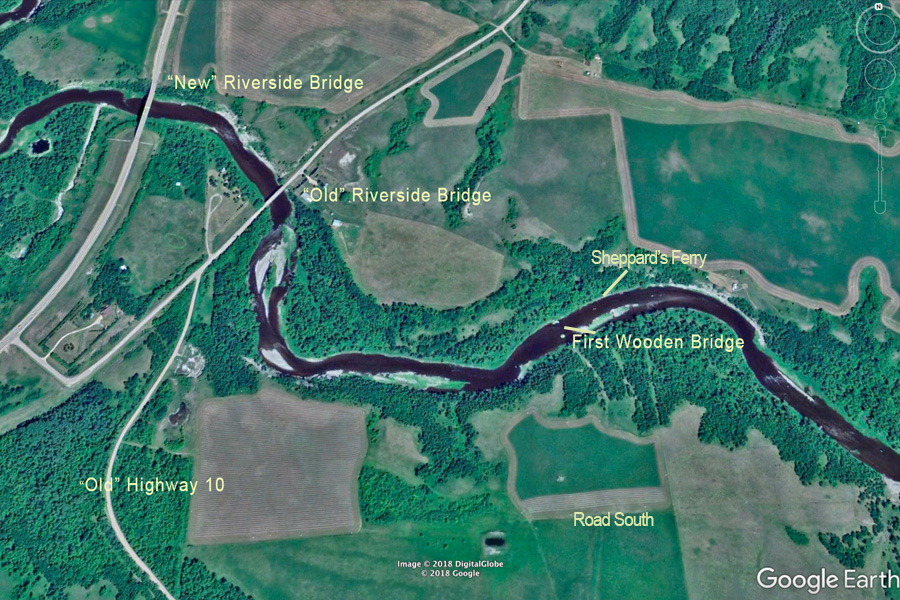
The crossing at Riverside – directly between Boissevain and Brandon, was always the most well used route. By 1882 Sheppard’s Ferry and Heaslip’s Ferry were operating near where the Highway10 bridge was later built. Over the next century bridges and roadway upgrades made the journey go more smoothly…literally.
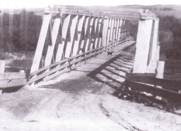
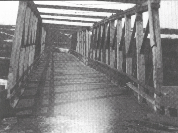
A wooden bridge built in the early 1900’s, was just a short distance downstream from today’s crossing.
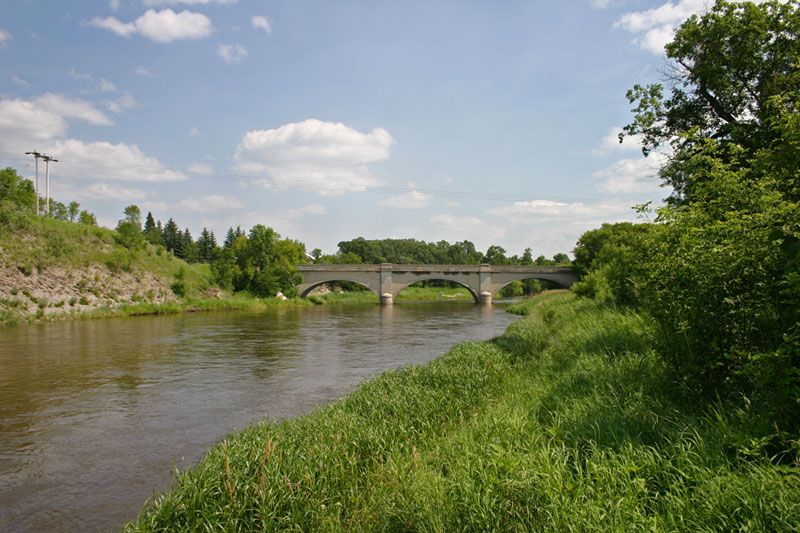
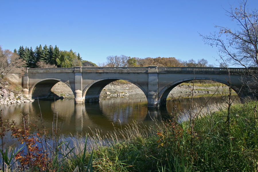
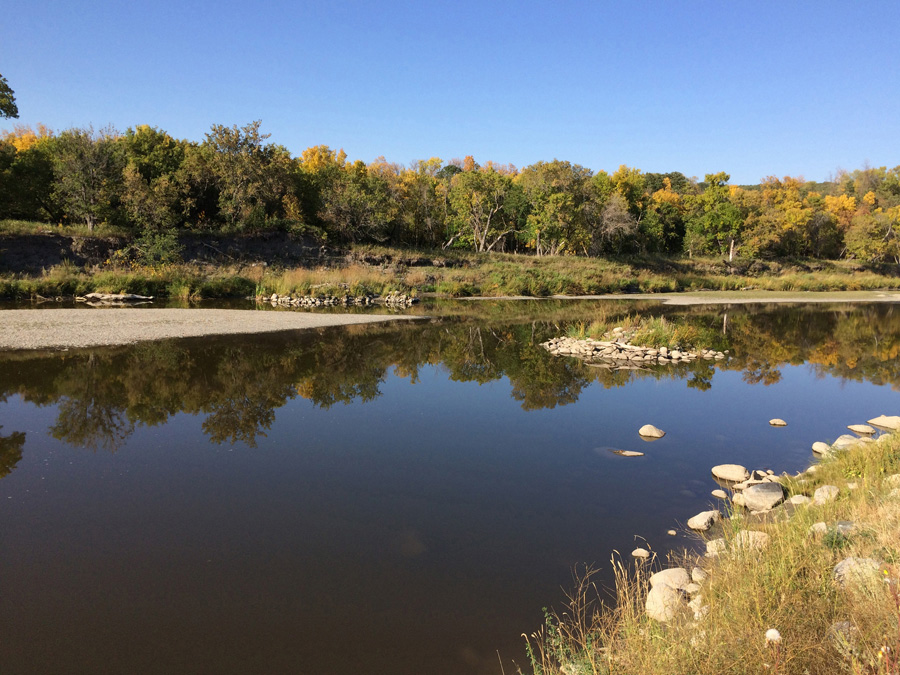
A new concrete arch bridge was completed in 1929. That crossing became a popular recreation spot with a dance hall, ball diamond, a store and gas station. Highway #10 crossed the bridge and proceeded straight up the hill running parallel to the current Highway, which runs a mile to the west.
The current bridge was built in the early 1970’s, leaving the old bridge and the access to it in place. Liskum Campbell Park was created on the site. Next time you’re passing by, stop and take a walk around – it is a beautiful spot.
Overview from the southeast
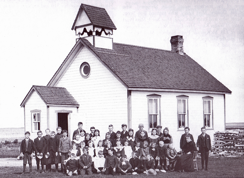
Riverside School - About 2km south of the bridge.

From the other side, the northwest
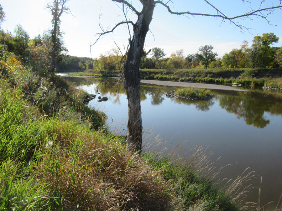
From the bridge - looking southeast.
From the bridge - high water
A good spot to put a canoe in the water - short ( 2 - 4 hr.) trip to the next bridge.
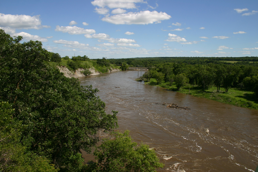
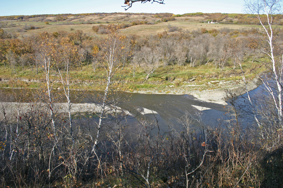
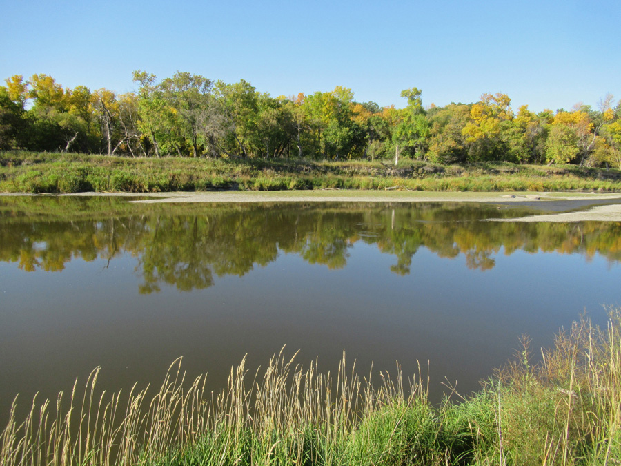
View west from the new bridge.
The new bridge
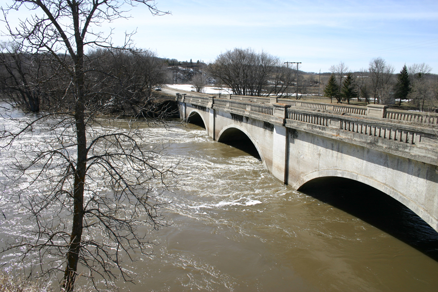
High water
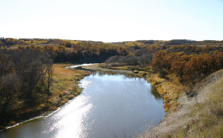
Riverside Bridge Overlook
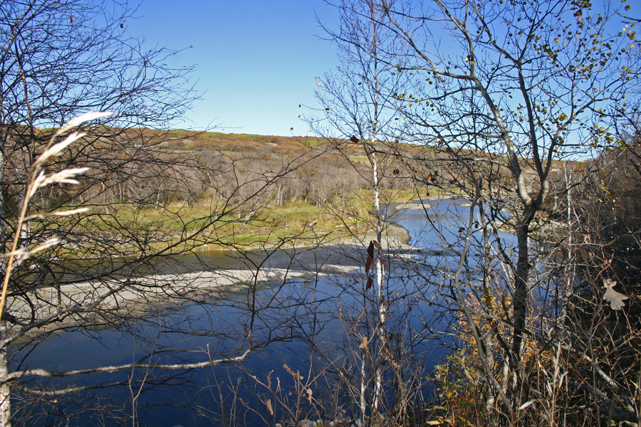
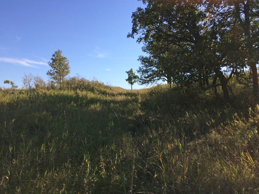
To get these shots of the Riverside Bridge - a view we hadn't seen before - we had to endure sunny skys, gentle breezes, a scenic
walk along the tree lined cliffs 30 metres above the Souris River Valley. A price we pay.
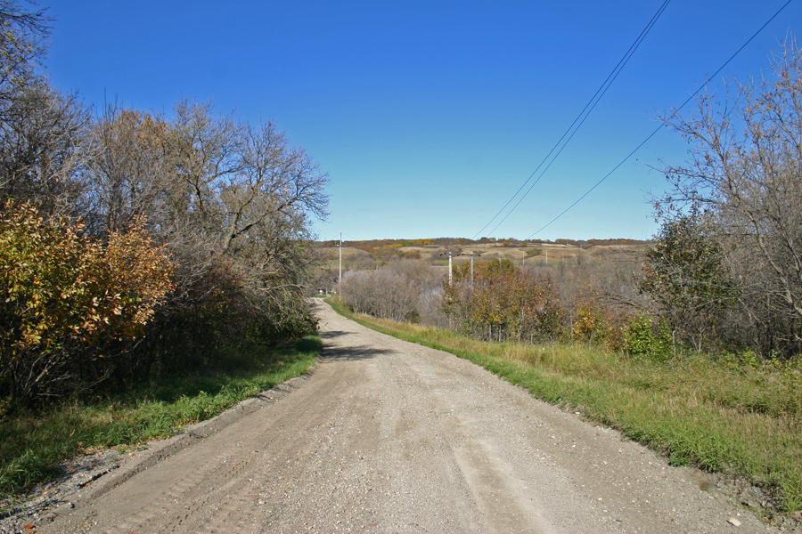
First we went up the hill.
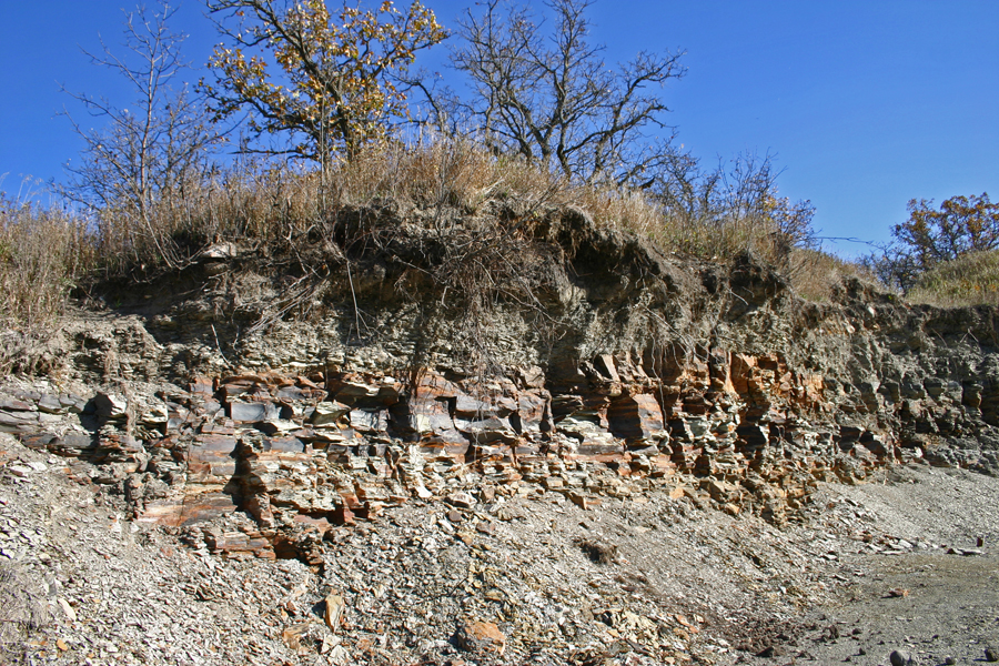
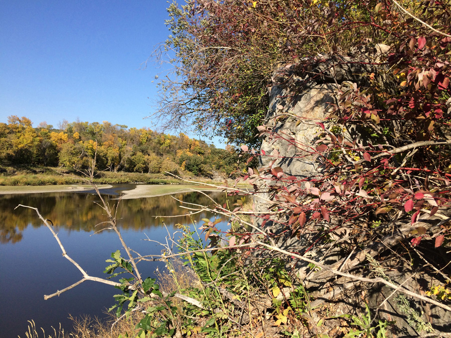
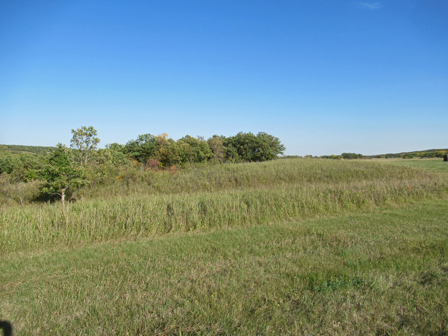
We passed by a gravel pit - a good look at the shale foundation of this part of the valley.

A bit of telephoto...
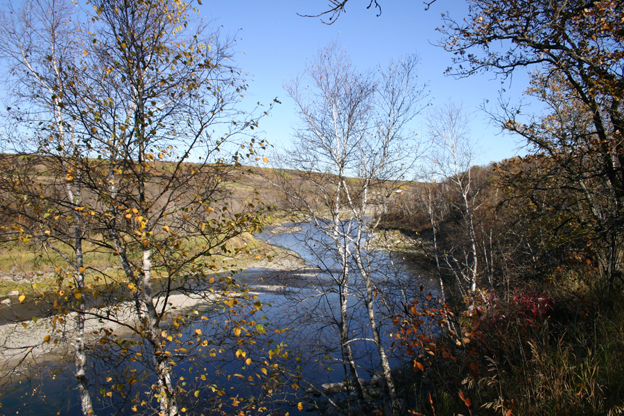
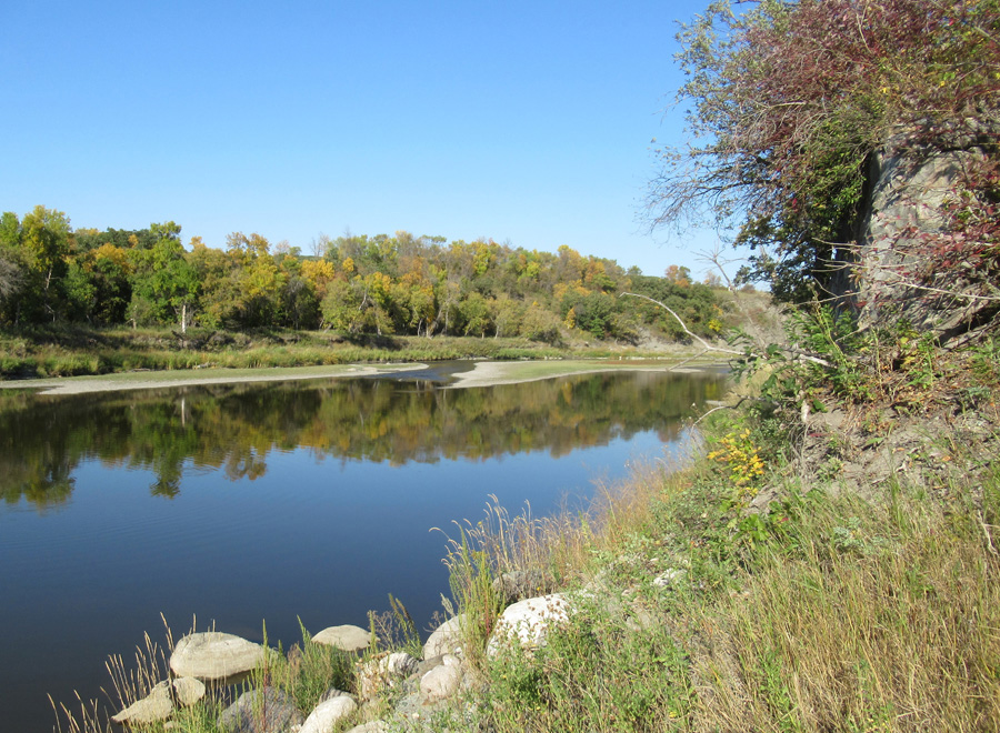
Looking downstream...
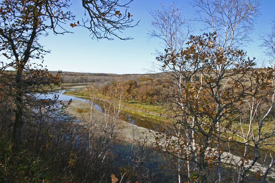
And looking back upstream - the bridge is around the bend.
In high water - these are nice rapids.
Back at the Riverside Park
Short Video...
Riverside - First Bridge Site
Beginning in 1885, one by one, the communities south of Brandon got their rail service, and by 1910 almost every farmer was within eight kilometres of an elevator. Life was transformed. What had essentially been almost a subsistence existence became viable agribusiness.
At the same time it ushered in a new era in terms of lifestyle. Trips back east were easier. Shopping excursions to Brandon and Winnipeg were quite possible.
The introduction of the car brought another revolution in transportation freedom. With the development of a system of roads, the trip to Brandon became even easier.
What had once been a four or five day journey was now a day trip.
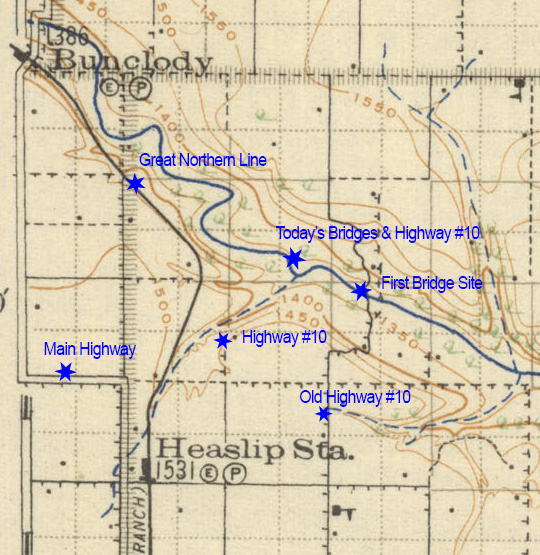
This map from 1921 shows the route. With the coming of the rail line in 1906, Heaslip and Bunclody became villages with stations,
and soon after that the road through those communities became the main highway south to Boissevain.
There was still that river to cross, but bridges began to replace the ferrys that had served the pioneer traveller.
The crossing at Riverside – directly between Boissevain and Brandon, was on the most well used route. By1882 both Sheppard’s Ferry and Heaslip’s Ferry were operating near where the Highway 10 Bridge was later built. Over the next century a succession of bridges and roadway upgrades made the journey faster.
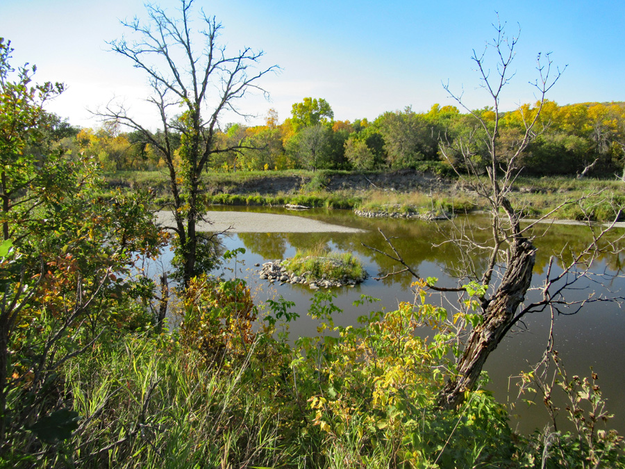 This is the site of the first bridge in the Riverside area. 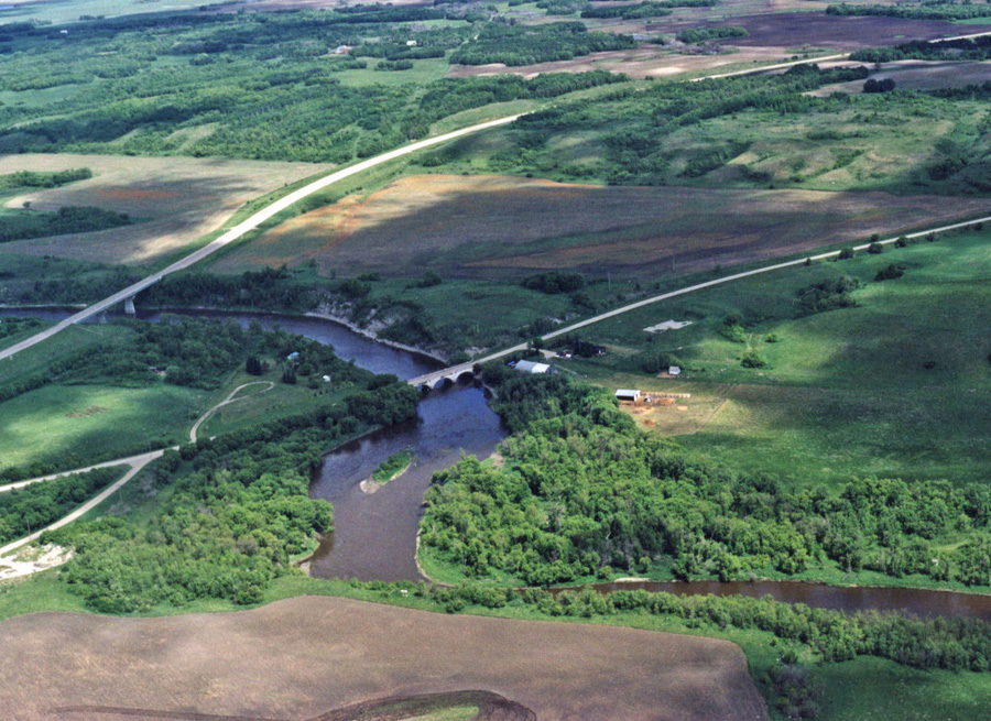 Here we see the two "modern" crossings at Riverside. In the centre is the bridge built in 1929. The third crossing, to the left, was built in the early 70's. 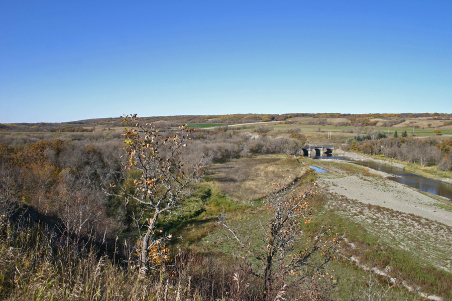
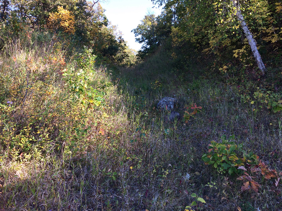
Short Video of the Site March 2023 - River Walk 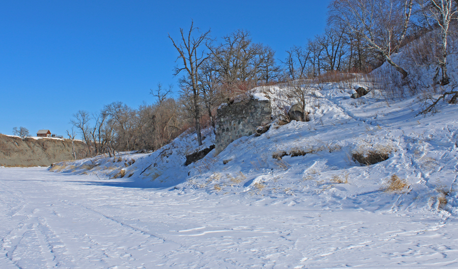 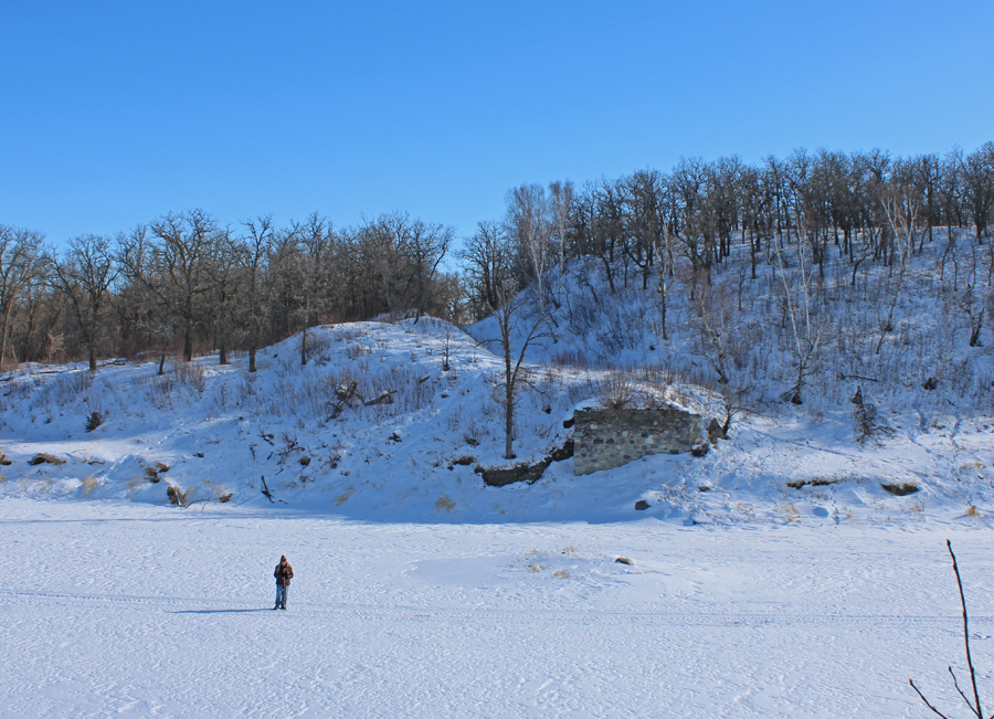 You can see where the old road wound its way up the south side. 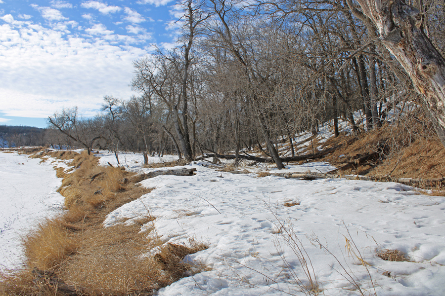 Likely site of Sheppard's Ferry est ca. 1881. Just east of the bridge. 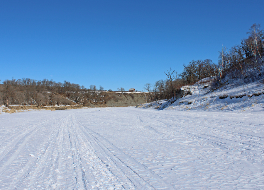 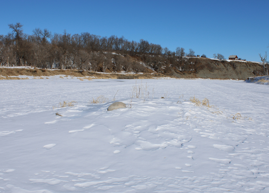 The centre support was here... 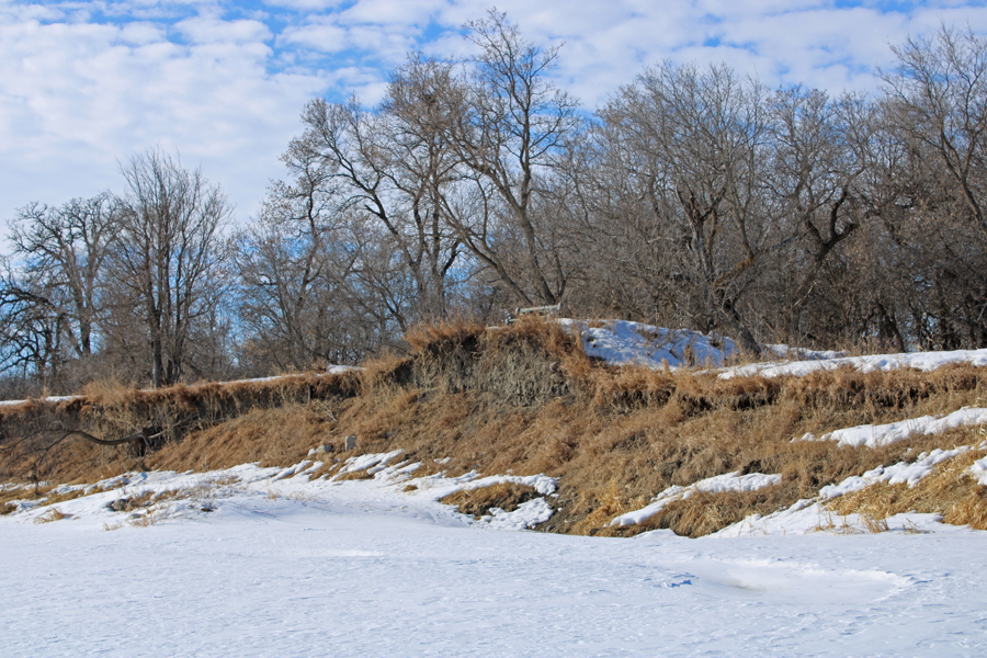 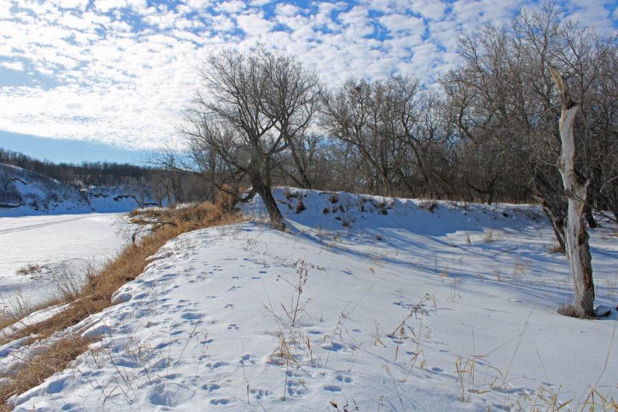 The north side approach. 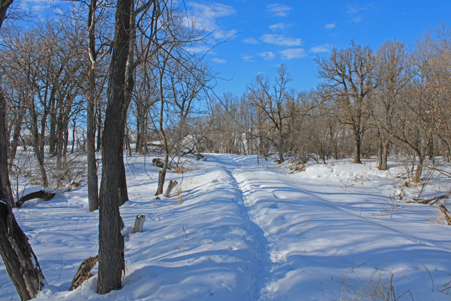 The road north from the bridge Riverside - Winter River Walk - West From the Highway 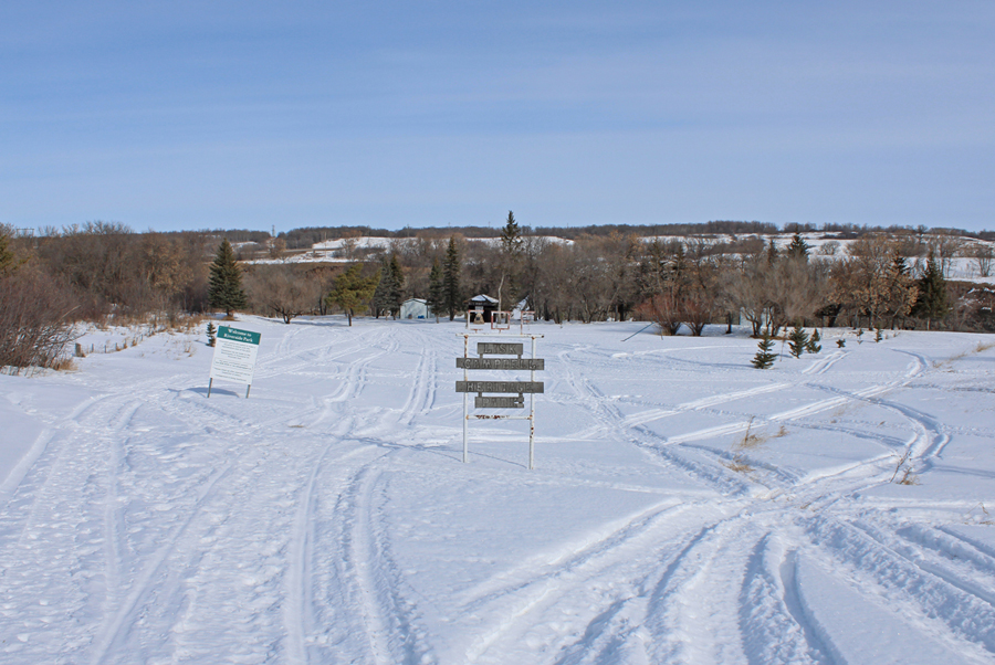 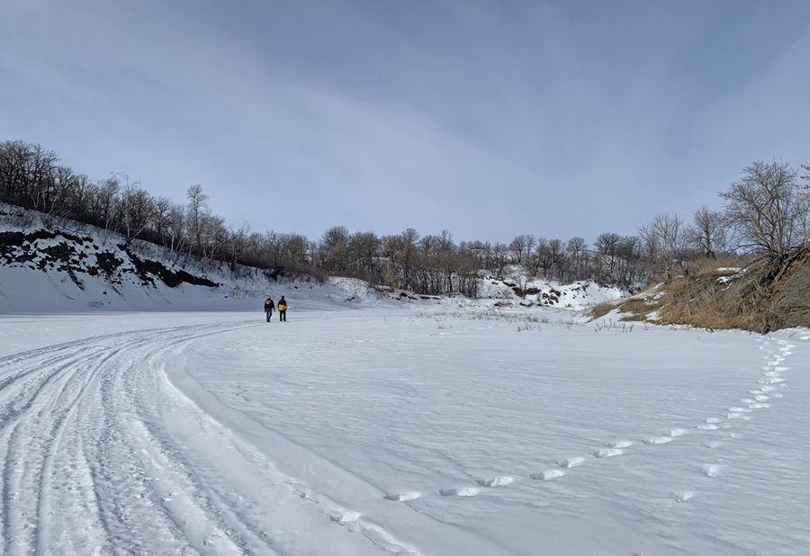 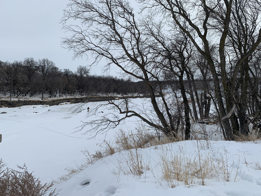 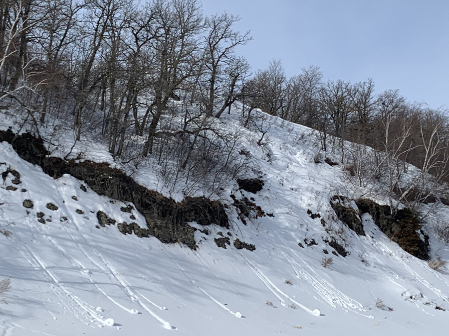 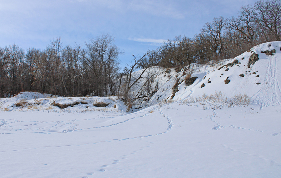 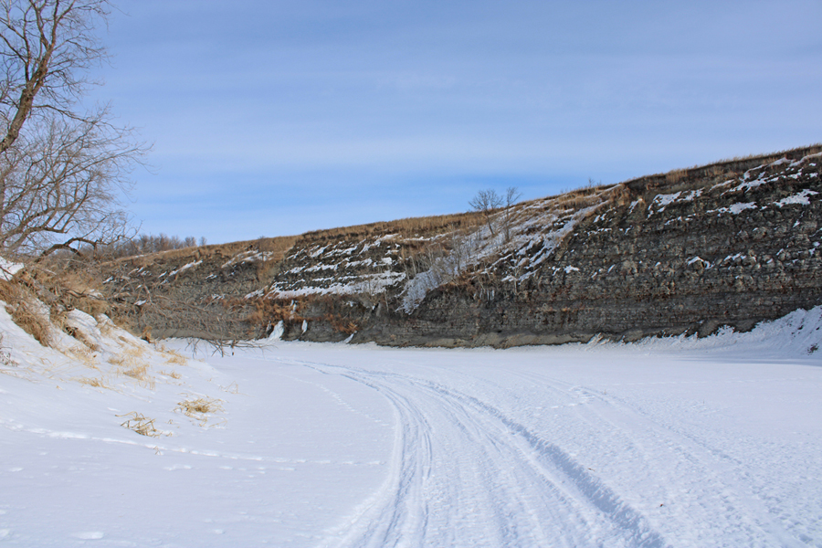 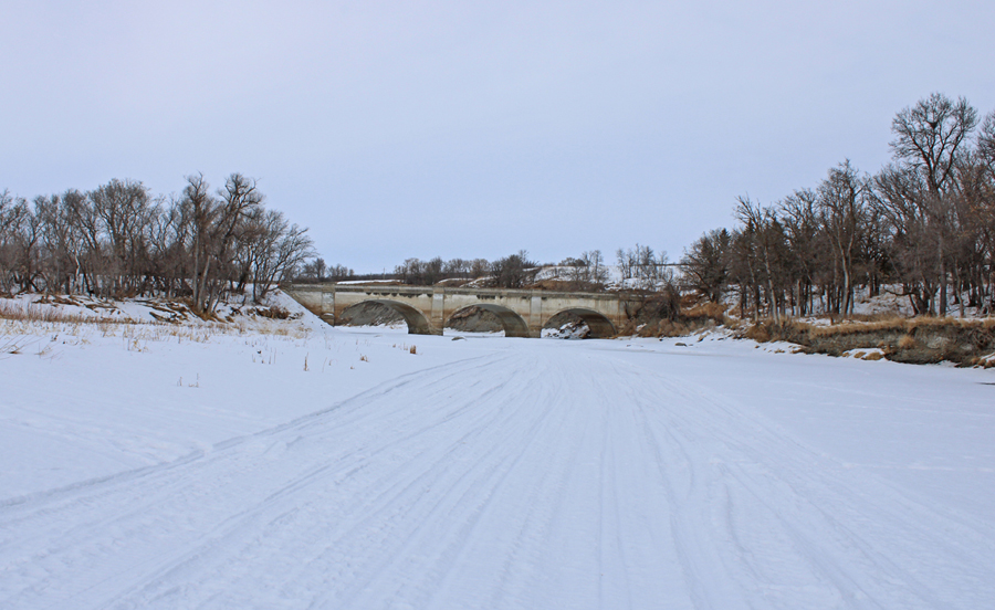 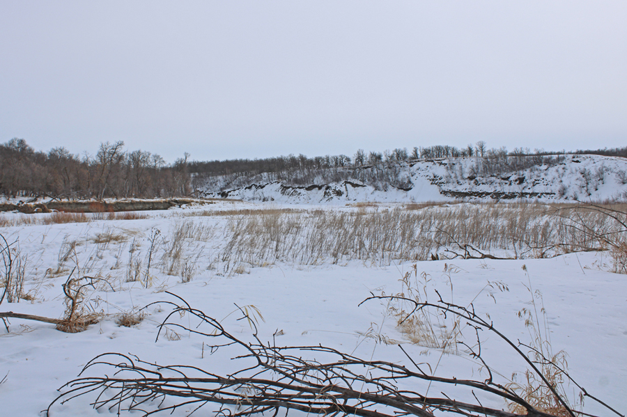 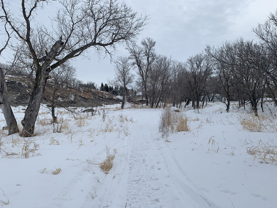 |

Video
MapPlus...