 |
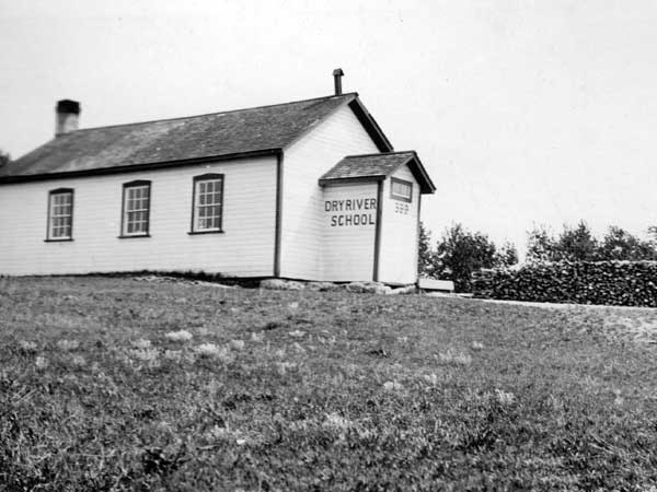
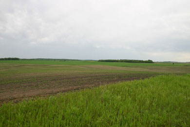
Dry River district is about 10 miles north-west of Pilot Mound as the crow flies and approximately 4 miles south-west of Mariapolls. It is bounded on the east by the Pembina River. The Pembina River derives its name from an Indian name - Pembina meaning "native cranberry". The old school district ran as far north as Township 4 for a short distance and at it's beginning it stretched west to the west side of rhe township On the south it goes as far south as the township for a part of the way.
The post office was opened in 1884 in the home of George Stewart, then moved to A. Eason's. In 1904 it was taken over by Wm. Craik followed by S. Robinson who had it until his death in1948. It was closed in 1948.
 |
 |
 |
 |
Municipal Heritage Web...
Dry River History...
http://www.virtualmanitoba.com/argyleheritage/documents/p2.html
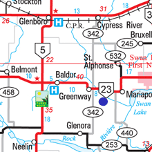
MapPlus...
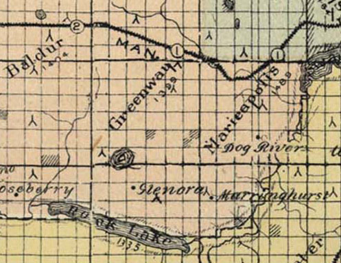
They got the name wrong on this map....
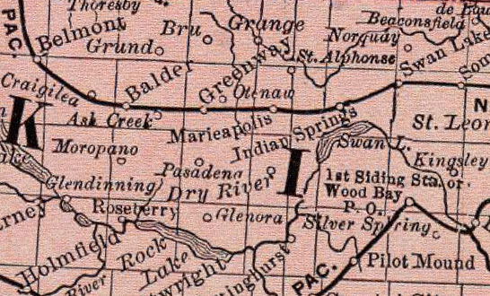
...and got the name right on this one - but check the spelling of Baldur.
Heritage Site Maps..