 |
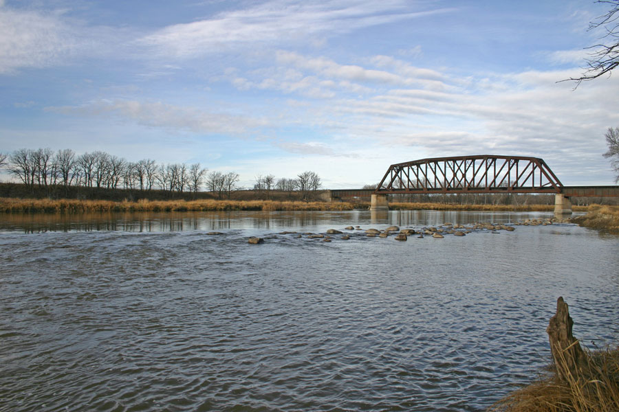
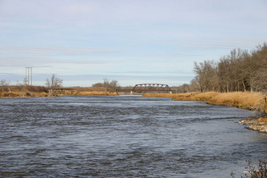
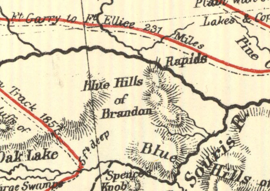
The rapids begin just south of the old CN rail bridge, a few kilometres SE of Richmond and 17th St East.
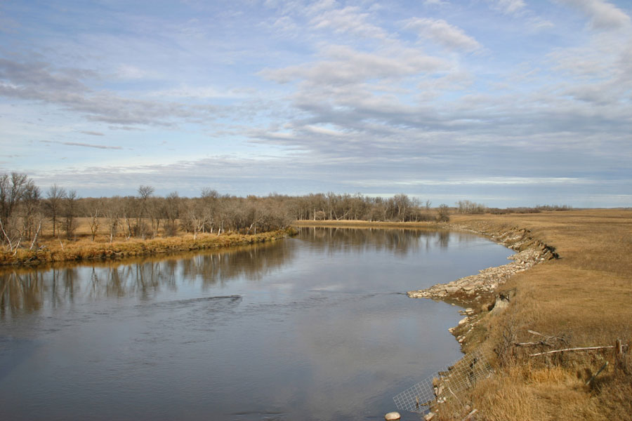
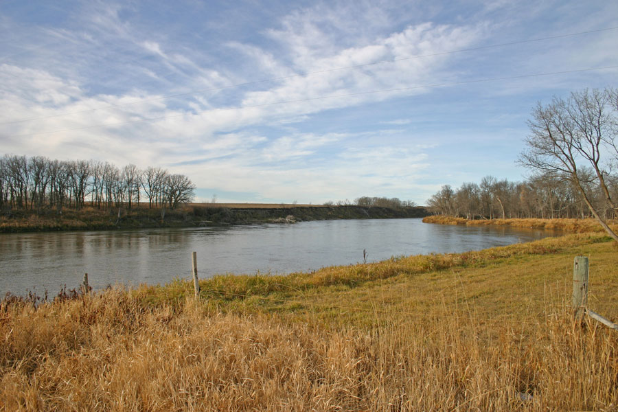
Looking upstream (North) from the CN rail bridge.
The start of the rapids from the CN rail bridge.
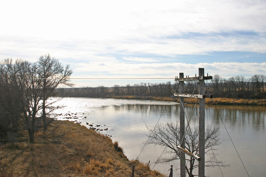
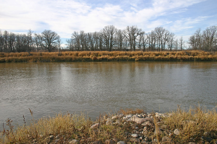
The start of the rapids from the east bank.
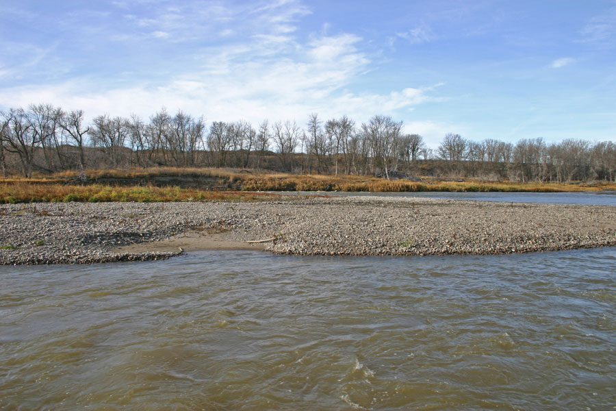
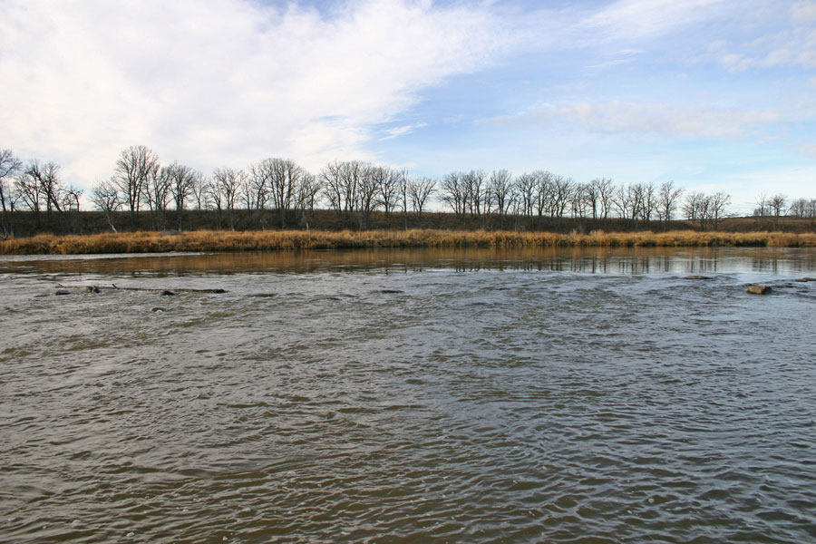
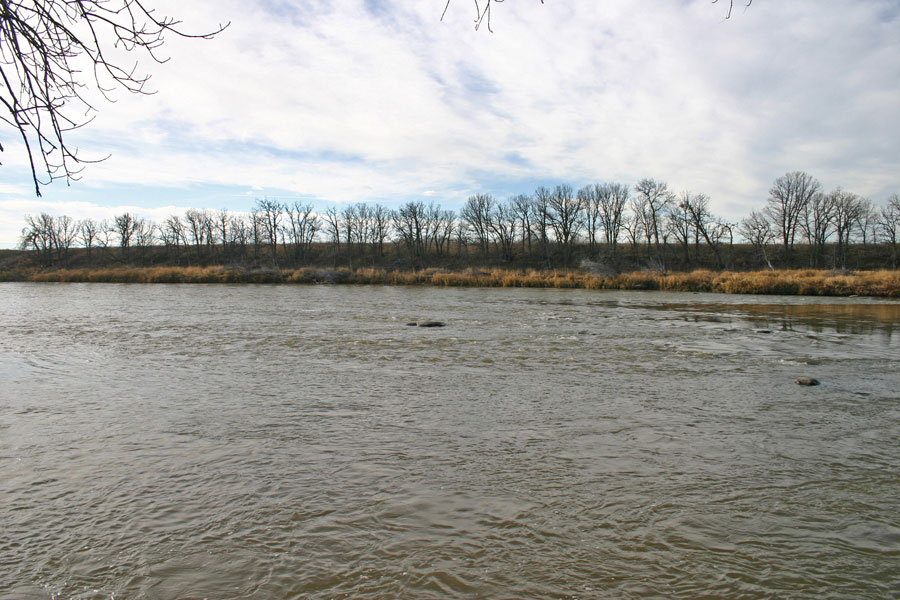
Near the middle of the 1 km long strretch of rapids
Near the middle of the 1 km long strretch of rapids
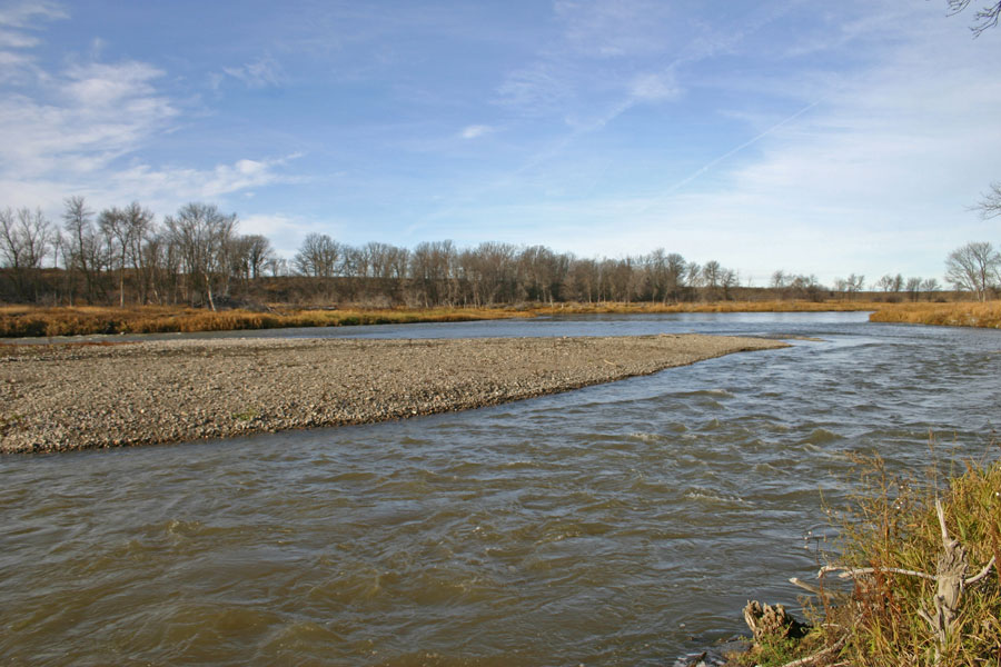
Near the middle of the rapids
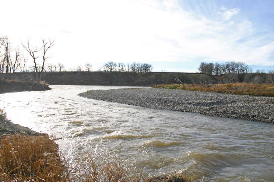
Another view of the start of the rapids
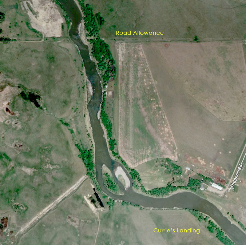
The rapids end near Currie's Landing where steamboats from Winnipeg unloaded cargo destined for Rapid City and beyond.
http://www.virtualmanitoba.com/CanoePage/Assiniboine/Route4.html
Site of the ferry and dock at Currie's Landing
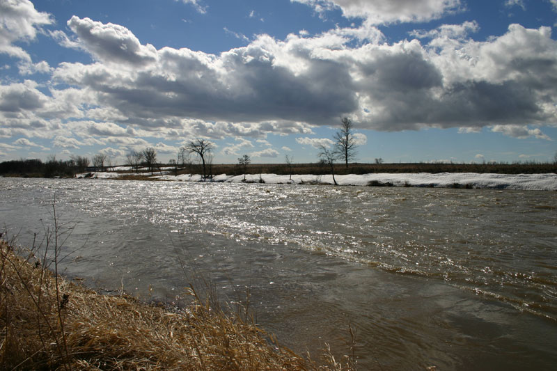
View from Curries' Landing
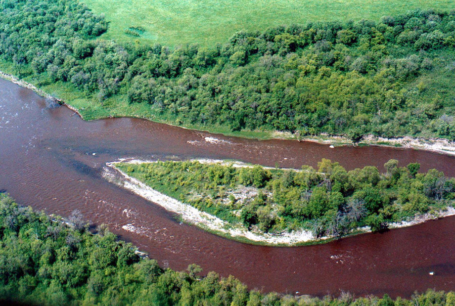
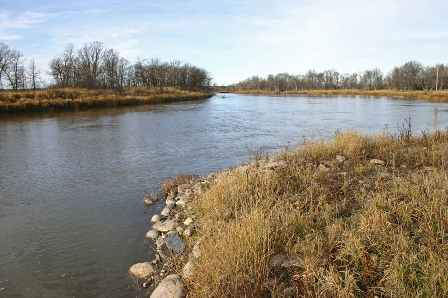
The island just upstrean from Curries Landing - it was a tough spot for the steamboats to negotiate.
MapsPlus...