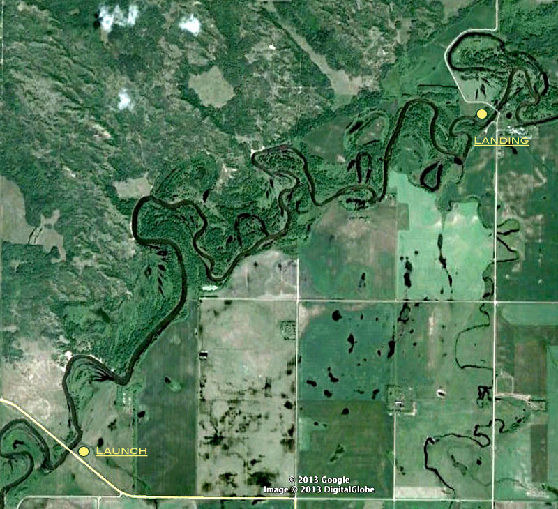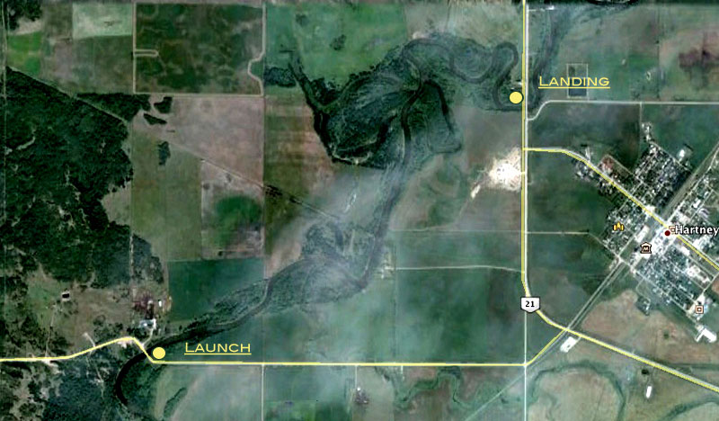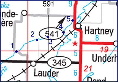
Launch : Turn west at
the Lauder turn off (#345) on Highway #21 south of Hartney. Take the
first road north after passing Lauder (#254).
Landing : There are four
bridges downstream so one can pick a destination according to the time
available.
Distances :
Trip 1 : (Bridge 1 to 2) : 12
km
Trip 2 : (Bridge 2 to 3) : 10 km
Trip 3 : (Bridge 3 to 4) : 12 km
Trip 4 : (Bridge 4 to 5) : 8 km
Time :
Trip 1 : (Bridge 1 to 2) : 1-
2 hrs
Trip 2 : (Bridge 2 to 3) : 1- 2 hrs
Trip 3 : (Bridge 3 to 4) : 1 - 2 hrs
Trip 3 : (Bridge 4 to 5) : 1 - 2 hrs
See
Google Earth
View
|
 |
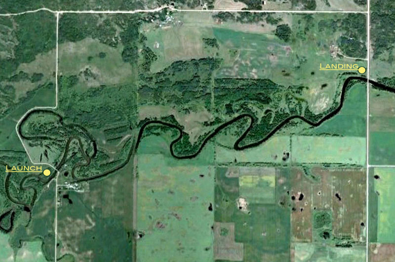
These are easy trips. The many bridges
in
the area allow you to plan according to the time you have available.
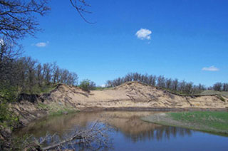
Trip 1 : When the water is
reasonably high you can make the first section (From #1 to #2) in less
than 2 hours. It passes through a part of the Lauder Sandhills Wildlife
Management Area. After about half and hour of paddling you come to a
long steep sandy bank on the left, bordered by a page wire fence. This
is the site of a former fur trade post and offers a trail through a
part of the sandhills.
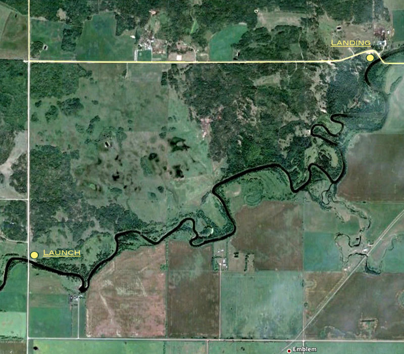
Trip 3 : This stretch passes
through
farmland and another part of the Lauder Sandhills Wildlife Management
Area. Near the end of the trip you come to a high steep sandy bank on
the left, with a visible foot trail leading upwards. At the top is a
trail through some interesting sand hills.
|