|
An Inroduction
The rivers of southwestern
Manitoba -
their valleys, their banks, their bridges and dams - are the most
scenic spots the area has to offer. Although rivers were once the most
important transportation links in this area, riverside locations were
only important for the first few years of the settlement era. The
coming of the railroad quickly made the rivers nearly irrelevant as
transportation routes. Because of this our riverbanks remain relatively
undeveloped and uninhabited. Seeing the river scenery from the river
offers a unique perspective.
This project had it's
beginning in a
series of canoe trips I made in 1995 and 1996. We wanted
a series of local
day trips, and as we were scouting departure points and landings, I
started keeping notes. During the trips my interest in local history
was sparked and ... before I knew it I had enough material for a short
book.
I hope this guide will help
people get
acquainted with a part of our province that is just a bit out of the
way. It is meant as a time saver and trip companion. I've tried to
offer easy directions to access points on the rivers, suggestions
concerning points of interest, and simple maps.
For More Details...
I have made brief mention of
certain
historical and geographical details that I have explored in much more
detail in other places.
For more history on places
like Brandon,
Currie's Landing, Grand Valley, Millford, Gregory's Mill, Souris
City,
The Souris Mouth Fur Trade Posts and the Assiniboine River Steamboats
go to:
False Starts: A Settlement History of Western Manitoba
For photographs and info on
other places mentioned - go
to:
Past
& Present - The Virtual Maniotba Image Gallery
For a closer look at the Souris
Bend -
the location of the best canoe route in Western Manitoba - see:
The Souris Bend
For dozens of Manitoba
Photographs on
topics such as: Westman Rivers, River Flights, Heritage Sites etc., go
to:
The
Manitoba Photo Gallery
Just a word about the maps.
Much more
detailed (and accurate) maps are available from the Department of
Natural Resources. They cost about $10 each. The maps included here are
quite basic, but designed for easy use. I've included only information
I think is relevant. I've recently added Google Earth clips, and
recommend this amazing resource to anyone wanting to take a close look
at a river route.
If anyone using this guide has
suggestions, corrections, etc. please Contact
Me.
Note From the Author
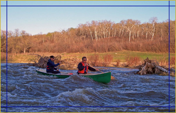
My interest in canoeing is
relatively
recent, and is actually more of an interest in rivers than in it is in
canoeing. The canoe is simply my favorite way of exploring the rivers.
So this little volume is not about paddling skills and technique. For
that I recommend Bill Mason's excellent " The Path of the Paddle". My
focus is on the river experience on these specific routes and as such
is more of a travel guide.
With that in mind I advise
readers
that river travel must be undertaken with caution and that my
information about river conditions and paddling difficulty is based
only upon my experience with these rivers. Conditions can change
dramatically in a short period of time. I am not an expert in river
safety and can not assume any liability for the reader's use of my
information.
|
